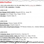
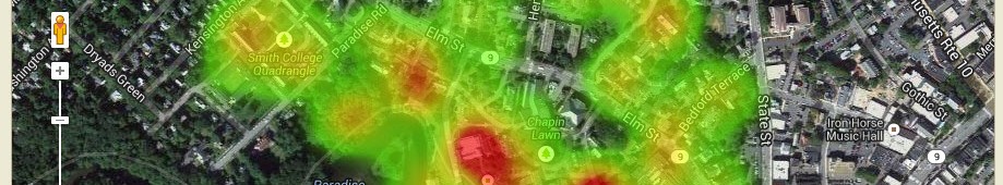
Smith College once again hosts the “Biggest Little Most Reasonably Priced GIS (BLRPGIS) Conference in New England”. Abstracts are in and planning is well under way as we prepare to host our 9th annual spring NEARC (Northeast ArcInfo Users Group) Conference. We are still accepting poster entries. The preliminary schedule is now available. Some highlights include: Updates from […]
Esri International User Conference Student Assistantship Program
Attend the UC for free as part of the ESRI Student Assistantship Program. Great opportunity to learn and explore the world of GIS (wish I were a student again – this is a pretty good deal)!
NATIONAL GEOGRAPHIC AWARD IN MAPPING
Undergraduate students and master’s-degree candidates are invited to apply for the National Geographic Award in Mapping. This award recognizes student achievement in the art, science, and technology of mapping and seeks to encourage student research. The first place award consists of a cash prize of $900 (U.S.) and the second place award is $300 (U.S.). […]
ESRI Virtual Campus Updates
Listed below are some of the updated ESRI Virtual Campus Courses that cover ArcGIS 10. Newer Virtual Campus Web Courses Timeline 3D Analysis of Surfaces and Features Using ArcGIS 10 3 hours 3D Visualization Techniques Using ArcGIS 10 3 hours Basics of Geographic Coordinate Systems (for ArcGIS 10) 3 hours Basics of Python (for ArcGIS […]
Finding GIS Careers
Jobs and careers eventually become the focus for many our our students. I have let slip every now and then that GIS could be thought of as a “Guaranteed Income Source”. So, I usually scan the GIS job boards, listerservs, etc. every now and then to get a sense of what industry and organizations are […]
Google Earth Imagery Updates and Curiosities
I just noticed a Google Earth imagery update for the Smith College campus area. Great new imagery and quite different from the springtime orthophotography I usually work with. These images are full of plump tree canopies and appear to be taken during the summer. Closer inspections indicates the imagery is of a 09/18/2011 vintage. As […]
Digital Dirt – Managing Botanic Garden Data
The Spatial Analysis Lab is working with the Smith College Botanic Garden to develop an open and robust data model based on the fine work by the Alliance for Public Gardens GIS (APGG). This effort began as a tiny seed almost 10 years ago, but languished without light and nourishment. Now, conditions seem ripe to […]
Top 5 Skills Needed to be Successful in a GIS Career – free Webinar
Learn the top 5 skills needed to be successful in a GIS career in American Sentinel University’s free Webinar, ‘Top Five Skills You Need to be Successful in a GIS Career’ on September 27 at 1p.m. EDT featuring Dr. Kerski, education manager for Esri and Dr. Devon Cancilla, Dean of business and technology for American […]
Student Assistant Positions in the SAL
Exciting and Challenging student positions in the Spatial Analysis Lab are now posted and open for applications. Please visit the JobX website and look for the following positions (hint: search for “spatial”) Mapper Girl Mapper girl is the lead super hero and the position is part of the On Campus Internship Program (OCIP). GeoEvent Girl […]
Geospatial Sciences Program gains approval at Radford University
This emerging field is transforming the way that geographic data is analyzed for scientific research and applications as well as the way business is conducted globally.