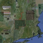
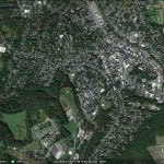
 I just noticed a Google Earth imagery update for the Smith College campus area. Great new imagery and quite different from the springtime orthophotography I usually work with. These images are full of plump tree canopies and appear to be taken during the summer. Closer inspections indicates the imagery is of a 09/18/2011 vintage. As I was enjoying the new view, I was curious as to what extent the new imagery covered (e.g. the image footprint) and why I was not notified by Google (thought I signed up for a notification service).
So, a few minutes later, and I have some answers and resources:
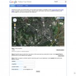
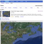
You can subscribe to Google Earth and Google Map image updates at Google’s Follow Your World. Another great resource is Google Earth Imagery Updates which you can find in the
Google Earth Gallery (see images). Note that a good portion of Western Massachusetts, the Berkshires, and a sliver of New York are included in the 09/18/2011 update.
Some curiosities emerged from my exploration:
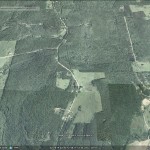
- As you zoom in beyond ~ 165 feet, GE transitions to an oblique or perspective view. When did this start happening? But, even more interestingly,:
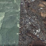
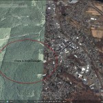
- I was able to reforest (with some fields) the entire Smith Campus and much of Northampton by tinkering with the “historic imagery” time slider (see images below)
- Going for broke, I reforested all of Northampton and surrounding areas by traveling back to 2008.
