Well, November was quite a busy month. So busy, in fact, that we were unable to spend time writing weekly updates to post. Our review covers the entire month of November and is organized by type of work:
Overview
Class Support
1. Study of Women and Gender 230
2. Spaces of Mexico (SoMec)
3. ENV201/202
4. Soc232
Student Support
1. Engineering/ Landscape Studies Senior Special Studies
2. ES&P Open Space Project
3. State Hospital Mapping FYS Project
4. CEEDS Invasive Species Mapping Project
5. BWC Campus Building Bird Safety Mapping Senior Project
Staff Support
1. Mill River Mapping Project
Events
1. NEURISA Conference at Sturbridge Village
2. Esri’s Joseph Kerski Lecture at Westfield State
Interactive Webmap Fun
1. Coffee Survey Maps
2. Tofurkey Day Travel Map
Holidays
1. GIS Day 2014!
Details
Class Support
1. Study of Women and Gender (SWG230)
Met with class on 11/10 and 11/19 in the Spatial Analysis Lab to reconvene and share after weeks of group map work. The online storymaps are coming along very nicely, with students discovering more data to be mapped and integrated into the narrative, as well as exploring new ways to effectively display data and tell a spatial story.
2. Spaces of Mexico (SoMeC)
Met a couple of times during November to address learning objectives for the class and how best to demo software.
3. ENV 201/202
The SAL hosted ENV201/202 on 11/4 for the second part of the intro to GIS lab in which we covered how to make an effective map that communicates information about multiple layers of data, while remaining legible. The maps investigated the lack of sidewalks along Damon road in Northampton, which result in a small food desert for residents along the road. The students explored this issue in relation to other geographic features of Northampton like the Rail Trail, slope, location of stores, streets, and sidewalks.
4. Environment & Society (Soc233)
The SAL participated in a two-part introduction to mapping in SOC232 this month. The first was held in the Seelye classroom in which post-bac Victoria Beckley talked with the class about using GIS to explore climate change data. This conversation prepped the class for the lab session on 11/13 in which ArcMap was used to explore current global precipitation and temperature raster data in comparison with 2020 and 2050 climate predictions. The class did some advanced analysis using the raster calculator to find temp/precip change over time and use population density to estimate the number of people who will be most effected in these scenarios.
1. Engineering/ Landscape Studies Senior Special Studies
A student working on creating her own interpretation of the campus map worked in the SAL often this month digitizing her map and navigating the complicated landscape of ArcMap.
2. ES&P Open Space Project
A student working in the ES&P department worked in the SAL on comparing home value with proximity to parks in Northampton. She used parcel data, open space data, and home value data to run the near tool spatial analysis tool and look for correlations.
3. State Hospital Mapping FYS Project
A first-year student worked in the SAL to create a walking tour of the old State Hospital grounds. She did this by first digitizing the buildings using a 2005 orthophoto set, then uploaded these data to a Trimble GPS unit and went out into the field to collect point data of where tour stops would be located based on previous and current building locations.
4. CEEDS Invasive Species Mapping Project
A senior student working with CEEDS is mapping invasive species located on the North side of paradise pond. She is contributing to an ongoing project to use GPS units to map the location of identified invasive species. In November this student worked with the SAL to process the GPS data first creating a fishnet grid of campus and then using spatial analysis tools like intersect, relate, selection, and edit to identify the primary invasive species located in each grid square. She also created gridded maps to show densities of each species.
5. BWC Campus Building Bird Safety Mapping Senior Project
A group of senior ES&P students have been working in the lab to create a campus map that explores the levels of danger each building presents to flying birds. The students have used a variety of building features to generate an overall safety score including: building height, number and size and material of windows, number of trees within a certain distance of each building, and number of recorded bird deaths.
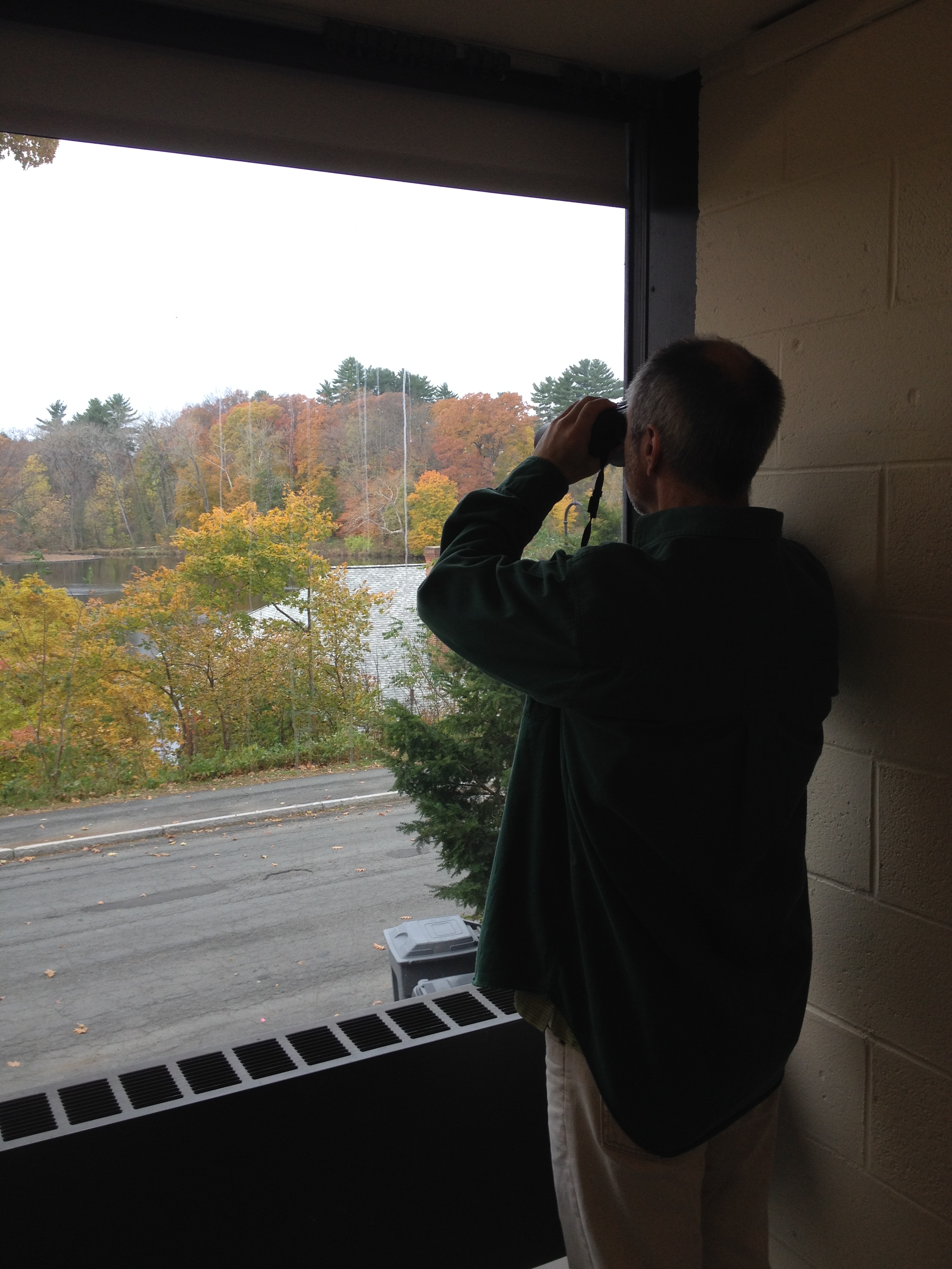
On the look out for bird safety hazards
1. Mill River Mapping Project
An ES&P staff member is working on processing Mill River images and data to create a map that will enable viewers to explore images of the river banks.
1. NEURISA Conference at Sturbridge Village
Post-bac Victoria Beckley, along with a colleague from Amherst College, attended the 2014 NEUIRSA Day conference held in Sturbridge Village, MA. Victoria presented on using ArcGIS Online to tell spatial narratives and referenced a couple of ongoing Smith classes as prime examples. The group seemed intrigued by the content of the presentation, it seems partially because of its difference from the majority of the presentations throughout the day. Later on Victoria and her colleague Andy Anderson conducted an OpenStreetMap Humanitarian Aid Ebola First Responder workshop. It was hands-on, which would’ve been wonderful if Sturbridge Village had its own wifi…alas, the GIS nerds managed to rig up some hot spots in the room, and everyone learned the process even if at a low speed on their laptop, iPad, or even their phone.
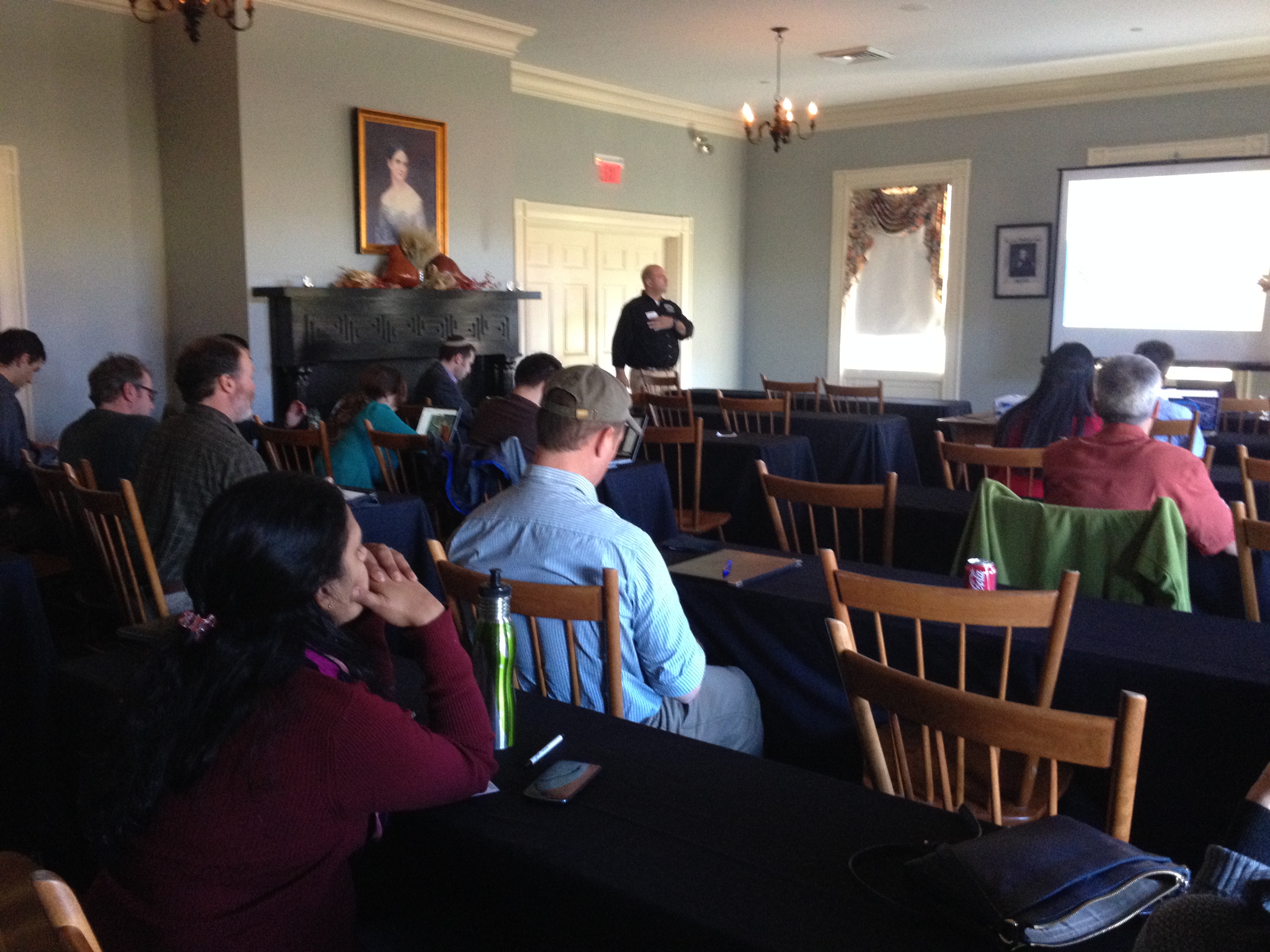
The Ebola mapping workshop looking enthusiastic!
2. Esri’s Joseph Kerski Lecture at Westfield State
Post-bac Victoria Beckley and her colleague Andy Anderson from Amherst College (a theme) visited Westfield State University to attend a talk by Joseph Kerski who develops educational curriculum at Esri, our main GIS company. He is a huge geo geek and is always inspiring to the rest of in the GIS community.