Director Note: SAL Associate, Waleska Reyes ’23 brought home a fine mapping effort (book title forthcoming) that continues not only the fine tradition of student / faculty mapping collaboration, but connects back to a previous SAL Associate who designed maps for Fernando Armstrong-Fumero’s 2013 book Elusive Unity: Factionalism and the Limits of Identity Politics in Yucatan, Mexico. Professor Armstrong-Fumero’s navigation to the SAL and taste for good maps remain intact and we look forward to the next cartographic collaboration.
From Waleska:
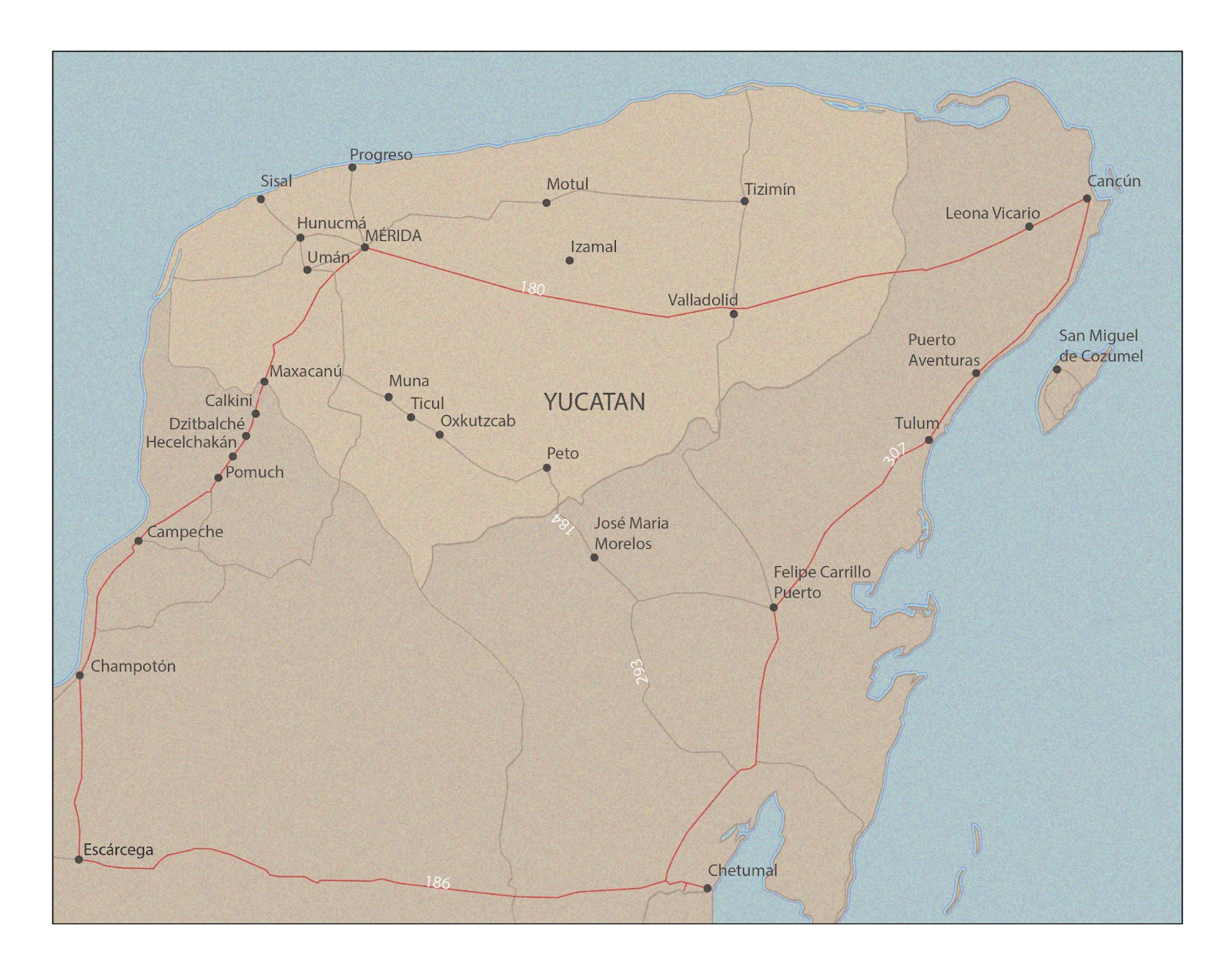
During the 2023 Interterm period, I created a four-map series for Associate Professor of Anthropology Fernando Armstrong-Fumero. The maps serve to highlight historical transportation routes across north-eastern Mexico.
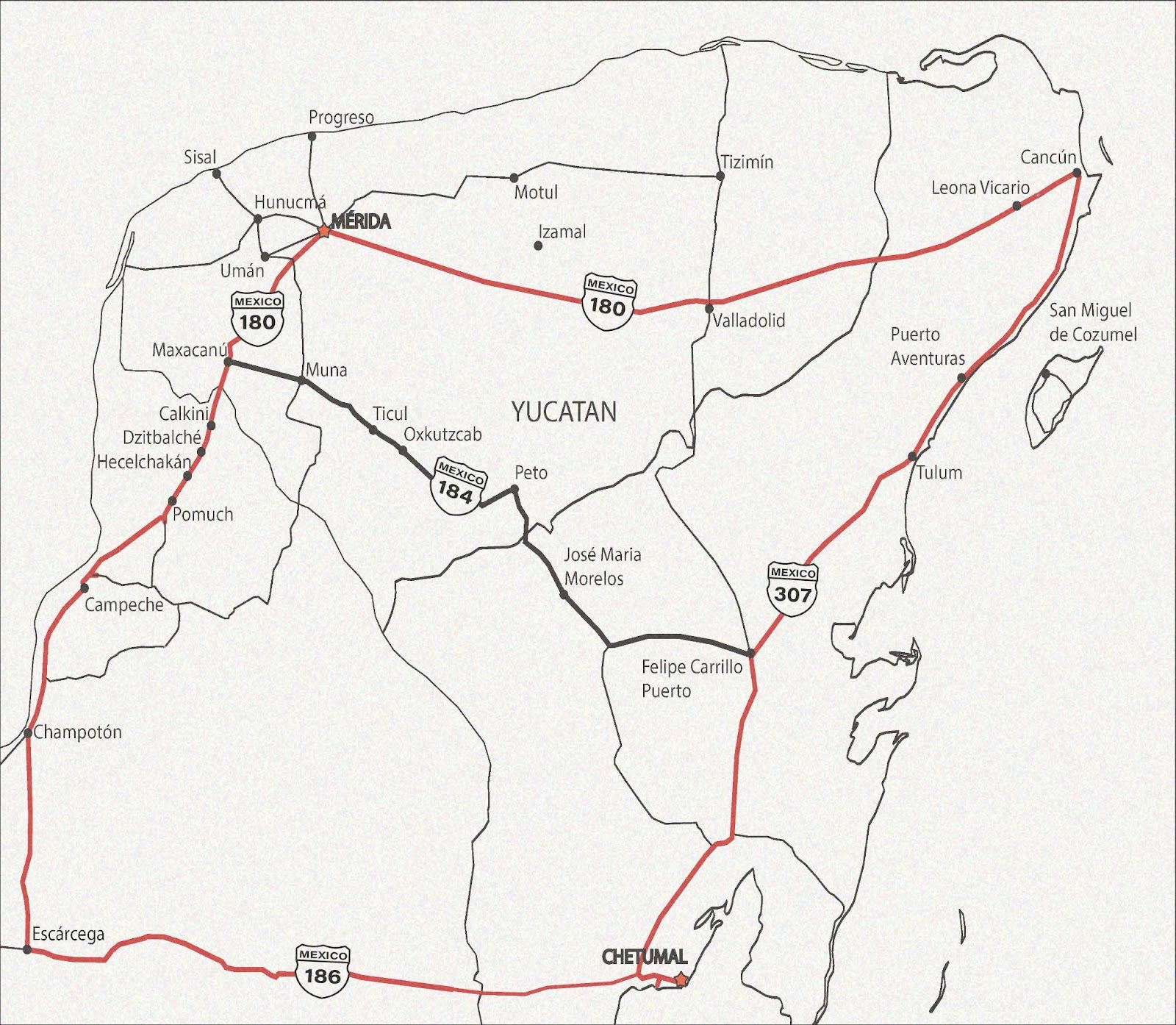
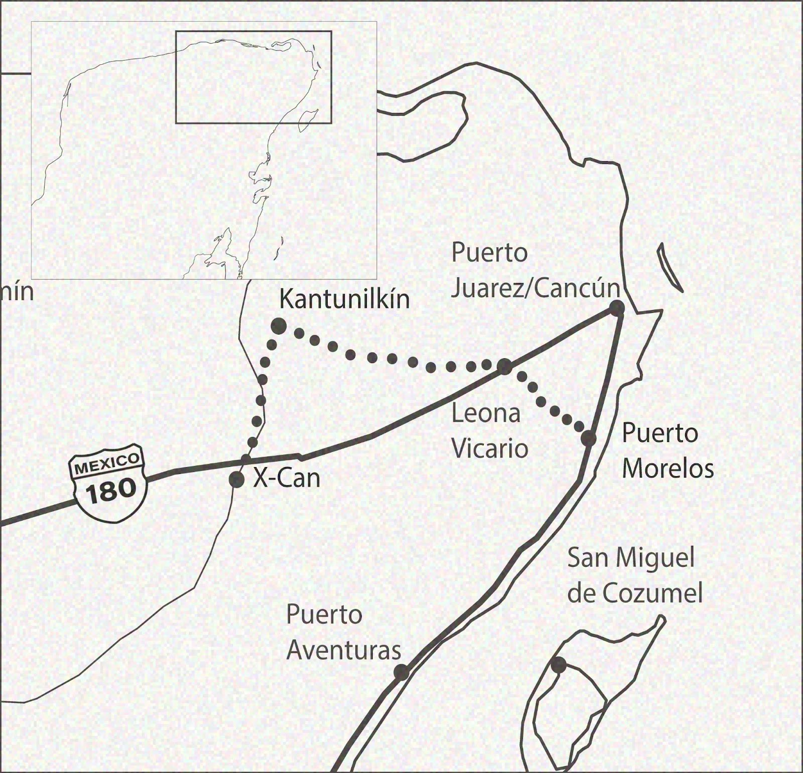

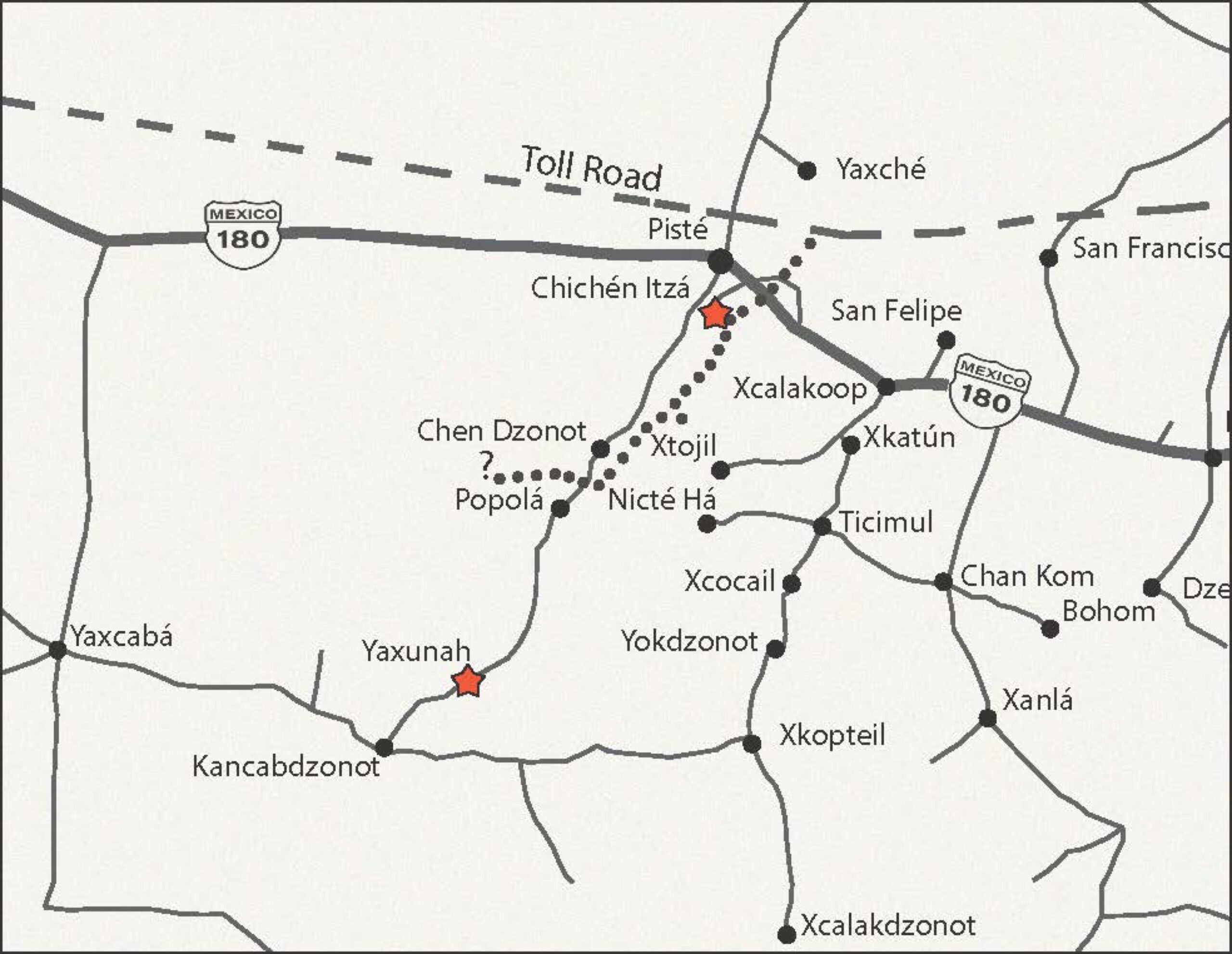
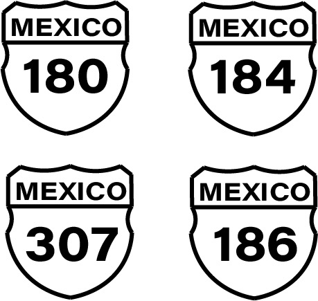
Using ArcGIS Pro, I began by locating the currently existing locations specified by Professor Armstrong-Fumero. Using the software, I added layers showing roads and boundaries. After establishing this foundation, I moved the file into Adobe Illustrator. There, I further stylized the maps and added the historical routes that didn’t exist on ArcGIS. Professor Armstrong-Fumero was looking to use particular markers for the maps: dotted lines to show unmarked transportation routes and specific names for toll roads. To indicate highway routes, I created custom highway markers. I also designed inset maps showing all of Mexico, to give greater geographic context to the main maps.
My biggest takeaway from this project is the experience of working collaboratively and iteratively. The maps went through several drafting stages, and I worked extensively with Professor Armstrong-Fumero to reach the stylistic tone he was looking for.