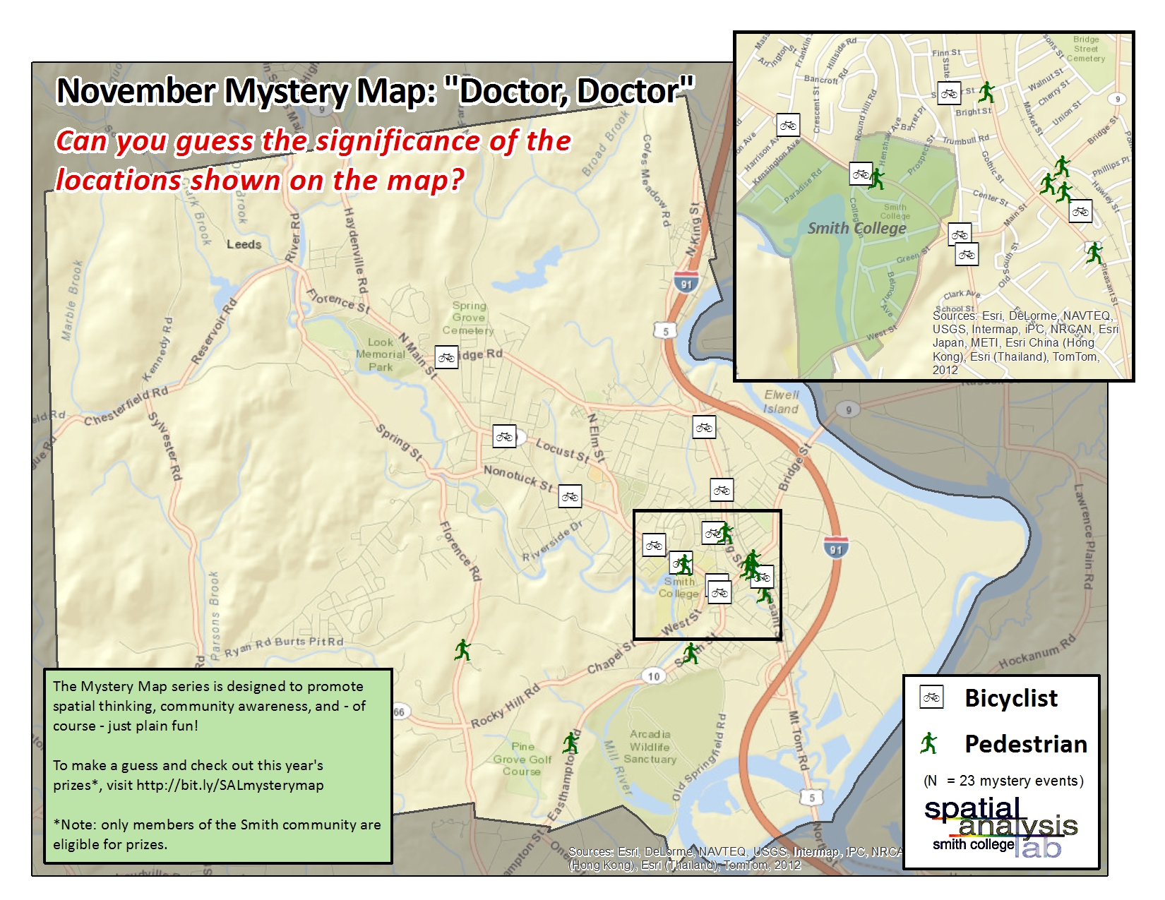
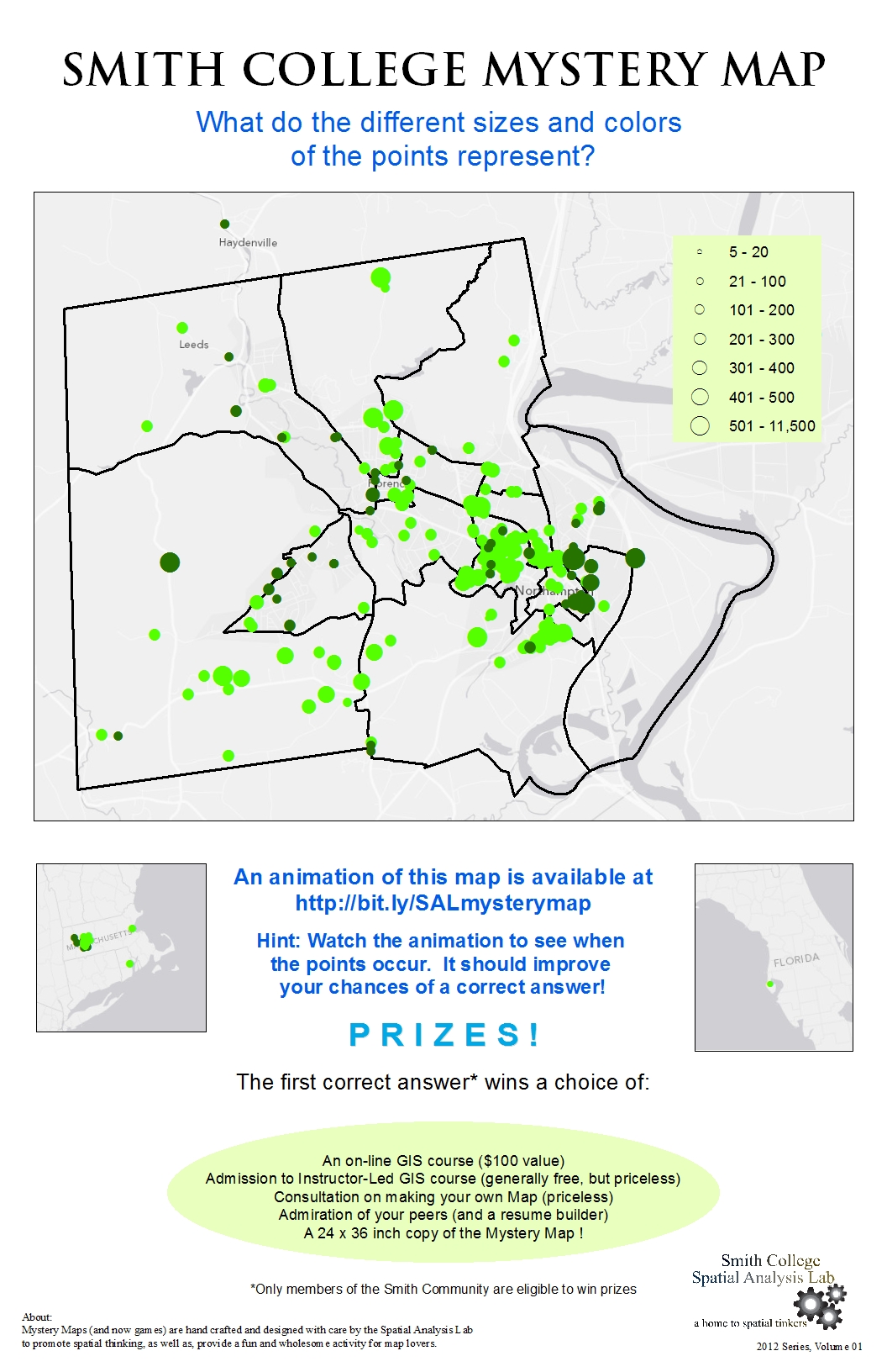
The answer is: The November Mystery Map showed the locations that non-motorists (pedestrians, bicyclists, etc) have been hit by cars in downtown Northampton. In this case, the data is from the year 2010, showing a complete snapshot of collisions during that…
November Mystery Map Solved!
