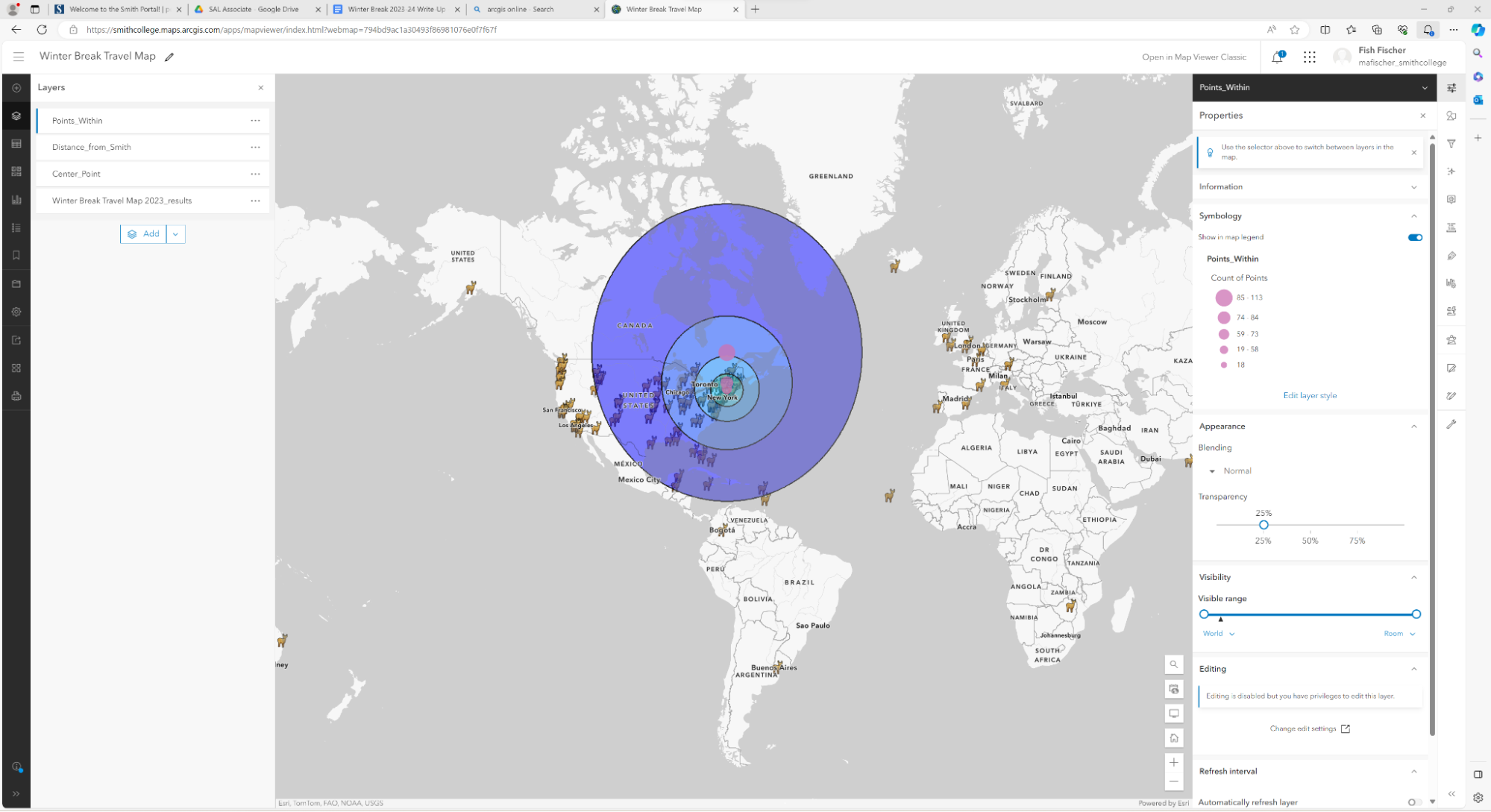
The Winter Break Travel Map was another interaction of the Tofurkey Map, involving the integration of three ArcGIS Online tools: Survey123, Web Map, and Experience Builder. The tools work seamlessly together, and Esri’s workflow is intuitive enough that you can easily repeat the process.
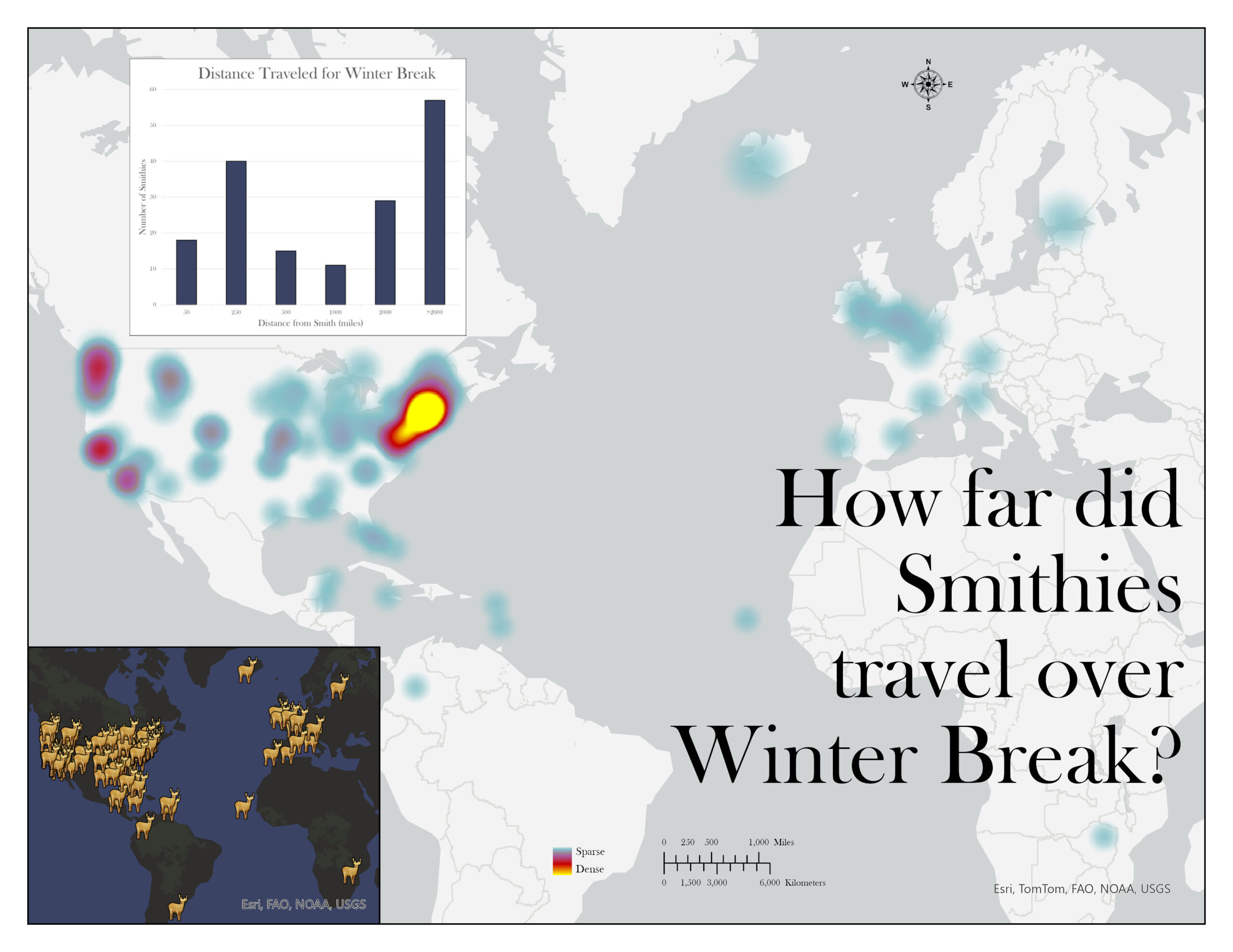
I did mix things up a bit with the map layout by incorporating a distance calculation as one of the statistics to report on. It is worth noting that there are different kinds of distance calculation that can be done in ArcGIS, and they represent slightly different distances.
I did a distance calculation by setting Smith College as the center point, and creating buffers of the following diameters: 50, 250, 500, 1,000, and 2,000 miles. (ArcGIS has a Buffer tool for this).
I then used the Summarize Within tool to calculate the number of points within each of the buffers. To find the number of points between 0 and 50 miles, 50 and 250 miles, and so on, I subtracted the inner buffer point count from the outer buffer point count. For example, there are 18 points within the 50-mile buffer and 40 points within the 250-mile buffer. So, I subtracted 40 – 18 to get the number of points between 50 and 250 miles from Smith.
Smithies traveled far and wide! 57 of 170 participants for the Winter Break 2023 Travel Map journeyed over 2,000 miles for winter break. For those who didn’t participate, how far did you travel for break? Any make it to the North Pole?