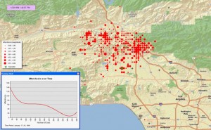
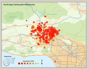
This example demonstrates display of space and time events. Data were developed and animated in ESRI’s ArcGIS software and exported to a QuickTime movie format.
Northridge Animation (Quicktime Movie showing number of aftershocks by time and location)
Originally developed for a textbook on GIS and Natural Disasters.

