The days are getting colder, but things are sure starting to heat up in the SAL as the new school year unfolds! Here’s some of our most recent activity:
1. Class Support
2. Student Support
3. Faculty Support
4. Campus Connections
1. Class Support
- We helped Prof. Camille Washington-Ottombre introduce her class Environmental Integration I: Perspectives (ENV 101) to GIS. In a great lab authored by Bryn ’17 , the students visualized their own biological footprints as the area of land theoretically needed to support their consumption habits every year. They also compared their footprints with the average footprint in the Democratic Republic of the Congo. Finally, they zoomed out to a global scale to analyze the spatial patterns of resource consumption and biocapacity worldwide. Specific skills that we introduced include:
- Conversion of vector features to raster data
- Rescaling raster data
- Symbolizing spatial data using basic principals of cartography
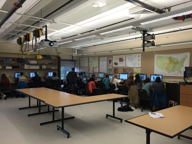
The SAL at capacity with ENV101!

- We helped Prof. Alex Barron’s class Environmental Integration II: Collecting and Analyzing Information (ENV 201) use GPS units to map the locations of soil samples that they collected near the Capen House.
- The students in Prof. Jack Loveless’s class Modeling our World: An Introduction to GIS (GEO/ENV 150) have been using historic USGS topographical maps and the Story Maps platform on ArcGIS Online to explore how the Mill River has changed its course over time. They’re also starting to work on their final projects, which involve helping local conservation non-profits with GIS work – more details on these to come!
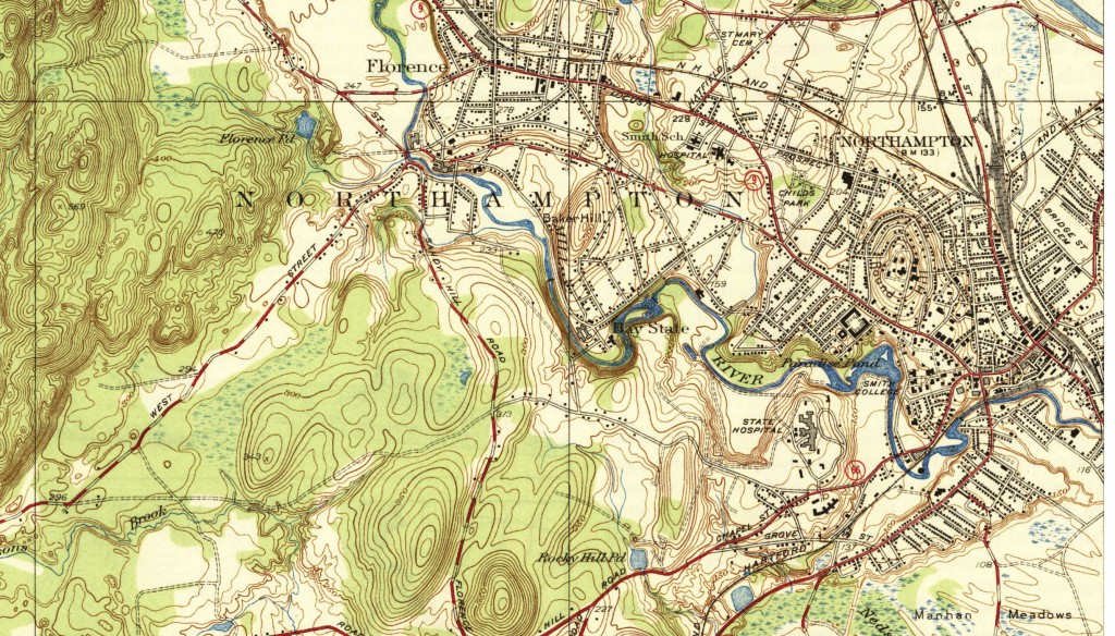
USGS map from 1939 showing downtown Northampton and the Mill River
- Finally, Jon gave a talk titled “Are We There Yet? Losing Our Way by Always Knowing Where We Are” in the Interdepartmental course, Digital Effects (IDP160).
2. Student Support
- Demand remains high for GPS equipment use. Student research teams from Biology and Engineering are the latest in a long line of new users learning the nuances of data collection with our mapping grade GPS units.
3. Faculty Support
- We’ve been working with Religion Prof. Connie Kassor to put together a map of Buddhist organizations in the Pioneer Valley. Her students in Buddhism in America (REL 266) will then incorporate these data into a Story Map telling a spatial narrative of Buddhism in this region.
4. Campus Connections
- We plan to have at least two workshops in October, in GPS and QGIS, a free, open-source alternative to ArcGIS. More details on these to come!