The Humanitarian OpenStreetMap Team has developed a project called MapGive, which allows volunteers to populate maps in parts of the world where mapping resources are limited. The idea originated following the 2010 earthquake in Haiti when mapping the island’s infrastructure through GPS surveying on foot proved too dangerous and not fast enough. As an alternative OpenStreetMap provided a computer-based solution in which volunteers anywhere in the world could use aerial photography to map the region (view video of Haiti response). This project has continued to provide valuable information to relief efforts on the ground in countries like Liberia, Sierra Leone, and Guinea in response to the Ebola outbreak, and now is being used to quickly generate map data in the days following the earthquakes in Nepal.
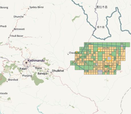
Over the past week we’ve seen tasks posted by OpenStreetMap taken on by up to 100 volunteers at a time, and completed within 24-hours. An example of a task is mapping remote areas near the epicenter of the quake outside Kathmandu.
Sindhupalchowk

Dhunche Rasuwa
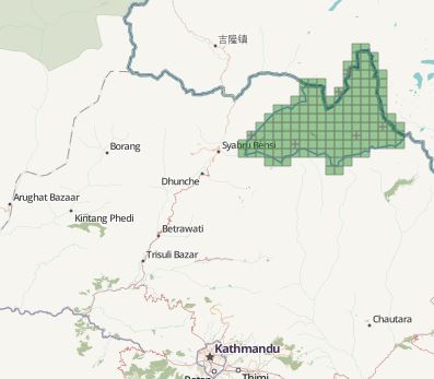
Langtang Rasuwa
Volunteers carry out these tasks by using aerial imagery of the country to identify features like roads and paths to remote areas, bridges and river crossings, residential areas where people might be in need of aid, and locations where temporary clinics can be set up.
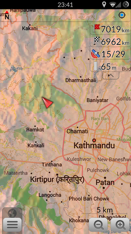
OpenStreetMap seen on an Andriod
Groups like Doctors Without Borders and the American Red Cross rely on this crowd-sourced cartography to navigate areas where previously the only available maps were comprised of low-resolution aerial images. This is especially helpful in the time before international aid can arrive, allowing individuals in Nepal to access this data on personal mobile devices to help navigate to those in need.
This week the Spatial Analysis Lab at Smith College organized a workshop for students, faculty, staff, and other Smith community members to contribute to this humanitarian mapping effort. The idea behind hosting this workshop was to provide people with a space and time to dedicate their attention to supporting the relief efforts in Nepal, even during this busy week before finals. The hour-long lunch session brought 26 people to the Spatial Analysis Lab (SAL) where they learned the basics of using the online mapping platform from a brief presentation given by SAL spatial fellow Victoria Beckley and SAL director Jon Caris.
Over the lunch hour the group contributed to a task focused on mapping the capital city, Kathmandu, in detail. The OpenStreetMap editing program provides basic cartographic tools that allow users to draw shapes to represent areas as buildings and lines to represent roads and paths. The majority of the workshop attendees were inexperienced in GIS mapping, yet all were able to draw features on the map and contribute to the relief effort. Although the tools are simple to learn, the task at hand is quite challenging, evoking questions like – is that a building or a natural feature? How do I know if this is a path or a road? And – is that terracing or a pathway?
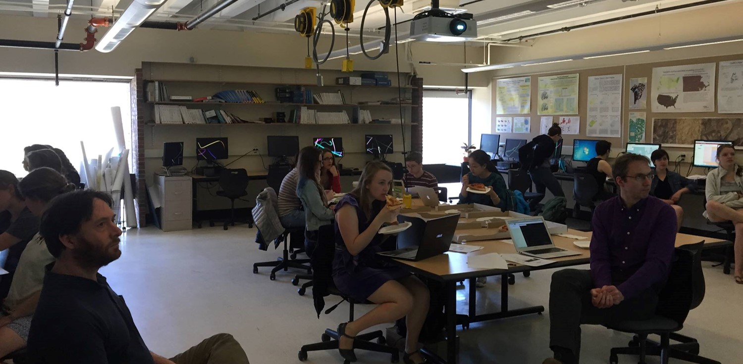
The SAL Wednesday during the Nepal earthquake relief mapping workshop
By the end of the workshop participants had familiarized themselves with the platform, they had explored both rural and urban geographies near the capital city, and they had connected, even if briefly, with an ongoing crisis so far from our daily existence at Smith.
The SAL plans to continue to host workshops of this nature for the Smith community, so check back in to see when the next one will be offered. For more information on the program and our work with it, see the following resources:
Please write to SAL@smith.edu with any questions or comments