What?
The snow has melted (mostly) … the sun is out (mostly) … the semester is winding down (OK, not at all). You know what that means? It’s time for another round of GPS workshops!
Why?
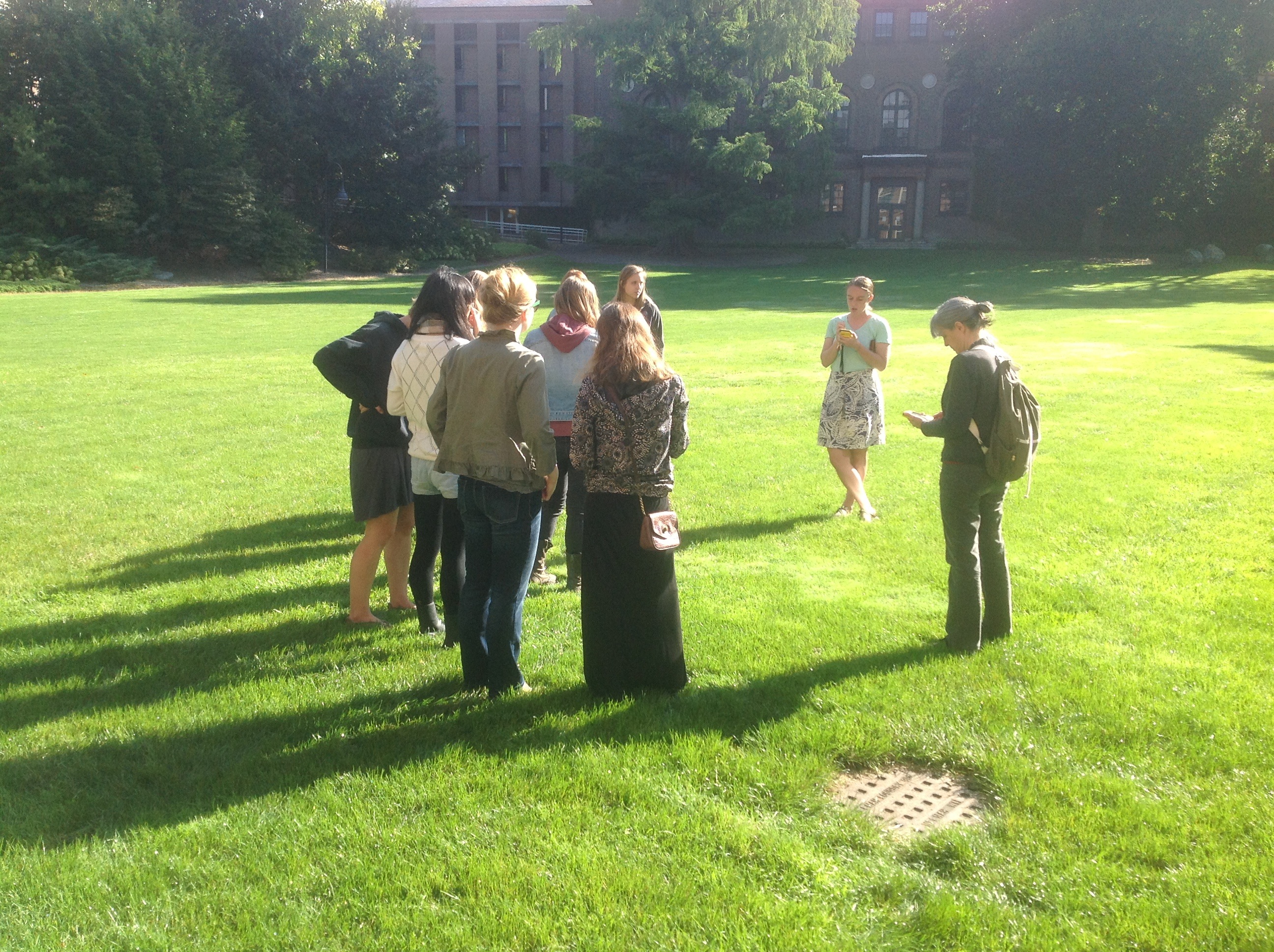
If you have a summer research project, internship, or job that might require you collect GPS data, sign up for the Spatial Analysis Lab GPS Workshop to learn how to use GPS units, optimize the accuracy of your GPS data, and process the data into a finished map product! We’ll teach you how to use our scientific grade Trimble Juno units in the workshop, but the skills and concepts discussed are also applicable to other GPS systems, including Garmin GPS units and smartphone apps.
This GPS Workshop has two parts. In Part A, we will discuss data collection planning and how to operate the GPS units, and head outside to collect a sample dataset. In Part B, we’ll process the GPS data into a shapefile (map data file that can be visualized in GIS software) and make a map of the GPS data points in ArcGIS. No experience with GPS units or mapping is necessary!
When?
Mix-and-match: come to one Part A session, and one Part B session, according to what works best for your schedule!
- Part A will be offered on Tuesday April 29 at noon and Tuesday April 29 at 4:15
- Part B will be the next day, Wednesday April 30 at 12:15pm and Wednesday April 30 at 4:15
- Each session will last 45 minutes.
Where?
All workshops will be held in the Smith College Spatial Analysis Lab, which is Room 104 in Sabin Reed Hall.
Who?
You! If you’re interested in attending, fill out the sign-up form below! This allows us to make sure that we are prepared for all attendees.
[Formstack id=1623238 viewkey=Bntzxrpaog]