The Spatial Analysis Lab (SAL) teaches with Geographic Information Systems (GIS) across academic divisions and engages communities of practice at Smith and beyond. We promote spatial literacy and the creative processes in critical map-making, through the use of GIS and related technologies like Global Positioning Systems (GPS), remote sensing, and drones.
What We Do...
Curriculum Consultation
Consult with faculty to incorporate spatial analysis & spatial storytelling in courses, including lectures, developing lab exercises.
Research
Support faculty and student scholarship
Workshops
Host workshops & Mapathons.
Data
Steward campus and regional spatial data collection for learning and research.
Fieldwork
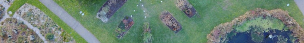
Conduct fieldwork employing drones and GPS.
GIS Instruction
GIS software instruction, including online, face-to-face, and open lab/office hours.
Cartography
Print and digital cartography.
Community of Practice
Exchange spatial insights and collaborate on mapping with campus partners and beyond Smith.