On a crispy Monday morning in mid September, the Spatial Analysis Lab (SAL) team set out with Albert Kim (SDS), Stephaine Choi (CEEDs), and Olivia Handoko (SDS ‘21) to measure and collect data for our very own, home grown “perfect…
X Marks the Spot
How do cartographers create the allure of the “X”? This post captures the iterative process of map-making through an art history professor’s request. The purpose of these maps is to illustrate and contextualize various types of bronze mirrors discovered at…
Penny for Your Summer GIS Thoughts
While a pandemic summer is bummer, it didn’t melt away mapping endeavors. Here are reflections by students on how they leveraged spatial inquiry during this time/space apart: Espy Thomson ’21, Environmental Science & Policy This summer I used the ArcPro…
Election Mapping Workshop Series
Registering would be agreeable Q&A Part 1: What’s in a Map? 9/8 Tuesday 12:30-1:15 Recording This workshop introduces GIS (Geographic Information Systems) and exercises spatial thinking through critiquing the abundance of election maps available – what are the ingredients and…
End of a Post-Bac Era
The end of an era. My time at Smith has taken me places, but it is time to officially leave the nest. At the beginning of my position as the final iteration of Spatial Analysis Fellows I felt hesitant, a…
COVID-19 and the Pioneer Valley Mutual Aid Map

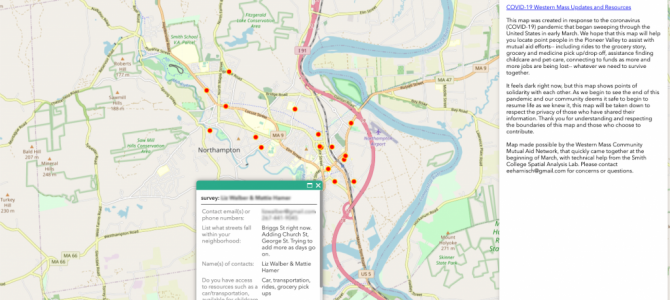
As the pandemic began its sweep through the United States we have seen incredible mutual aid responses pop up all over the world, and in our local communities. And what better way to visualize those efforts than a map! The…
February 2020 Mystery Map
The mystery map returns! Take a look at the map below and explore the online interactive map to determine what the blue pins represent. Fill out this form to submit your guess! Add your submission by the end of February.…
Spring 2020 Workshops
The Spatial Analysis Lab is excited to offer another set of workshops– new and old– for Spring 2020! Take a look at the schedule and mark your calendars for more spatial learning. Please give us a heads up by registering…
A semester in review: Fall 2019
What a semester! We’ve reached new heights this fall with new classes, workshops, and research. This semester we taught Drone Cinematography and Aerial Imagery, and assisted Contesting Space: Art, Ecology, Activism in Latin American & Latinx Studies, Great Cities: Los…
Hannah’s Fall 2019 in Review
It’s been a busy SAL-mester here at the Spatial Analysis Lab! We’ve had a number of exciting projects this fall. Currently, I’m collaborating with an emeritus faculty member to help create a map for his book. Earlier in the semester,…