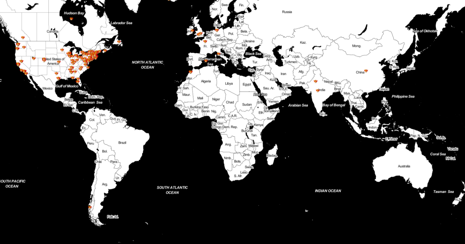
Thanks to all of you who participated in this year’s Tofurkey Map! 259 Smithies contributed their Thanksgiving break destination to the map. Here’s a few fast facts compiled by SAL Assistant Ellen Sulser ’18: Most popular dishes: (1) Stuffing – 42 respondents;…
Ebola Mapping Workshop Packs Room
On Wednesday night the Spatial Analysis Lab hosted workshop instructor Teresa Clary to lead an 90 minute session on Ebola First Responder Mapping with OpenStreetMap. The workshop was heavily attended, pushing the SAL and its computer capacity to the limits.…
Food Bank Mapping
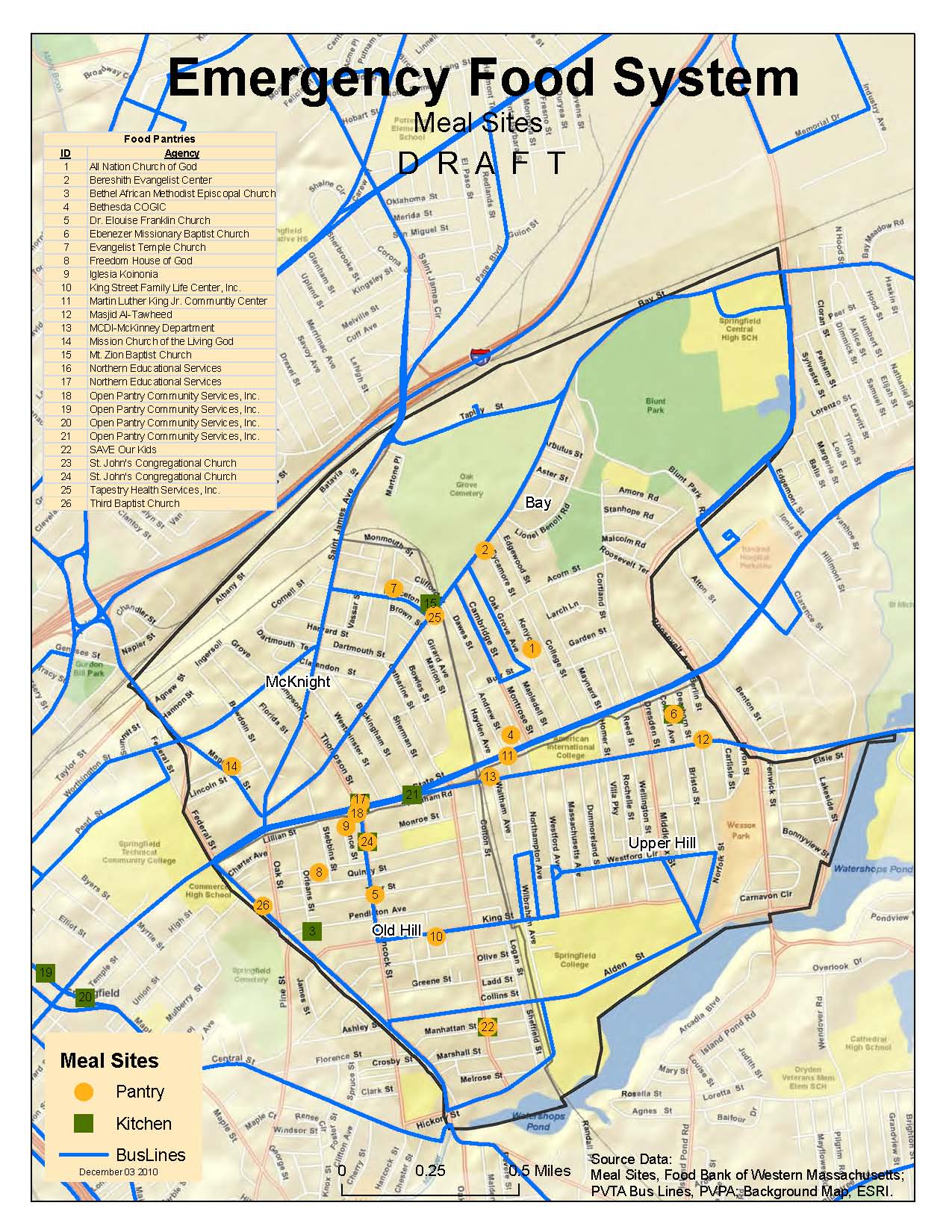
The Food Bank of Western Massachusetts sought mapping and analysis support from the Spatial Analysis Lab during the summer of 2010. The project is currently on hold, but you can view some of the initial map products below. Sarah Motti…
Bike Trail Mapping
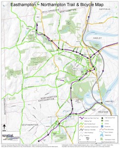
The Spatial Analysis Lab (SAL) recently finished the 2011 version of the “Easthampton ~ Northampton Trail & Bicycle Map” for the Friends of Northampton (MA) Trails and Greenways (FNTG) organization. The 2011 series marks the third iteration of the map…
Community Divided?
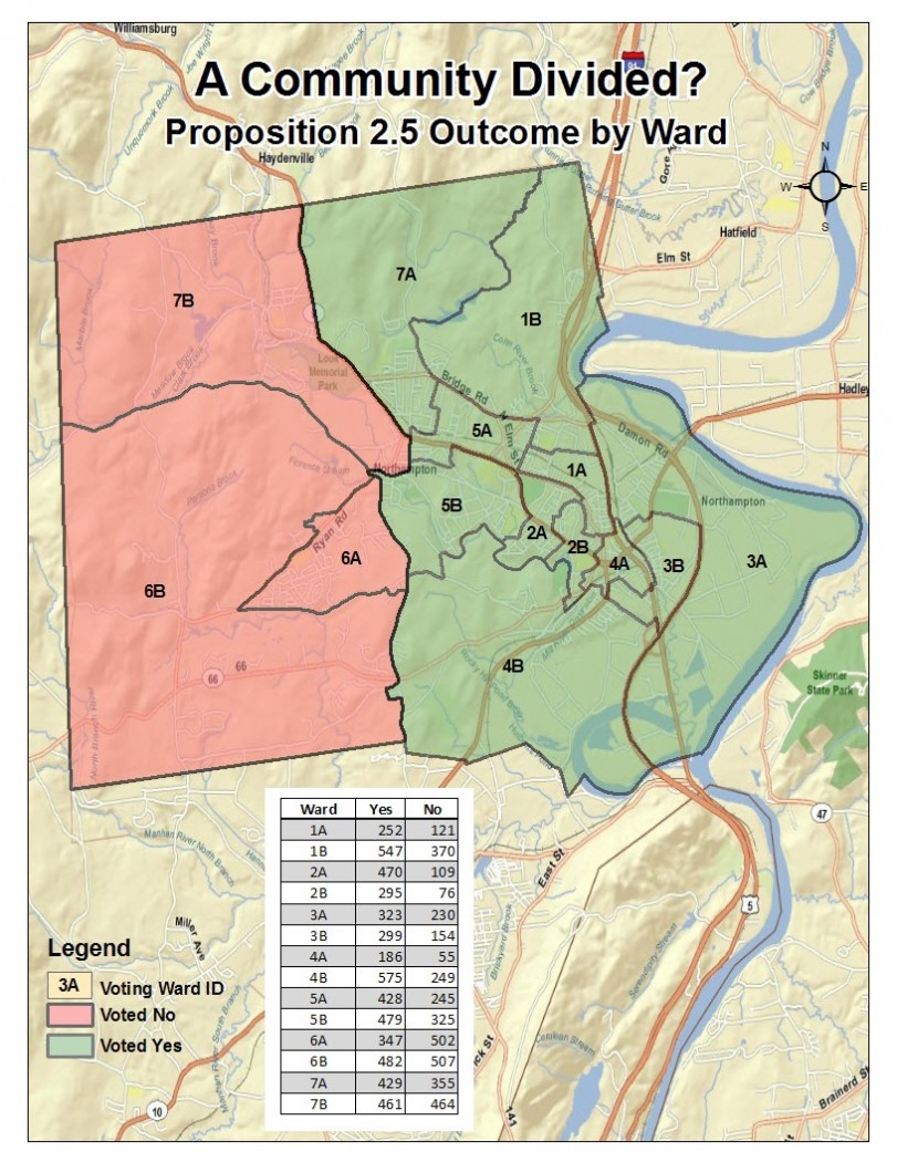
Mapping the comfortable margin of the Northampton Proposition 2 1/2 override tells a different story…