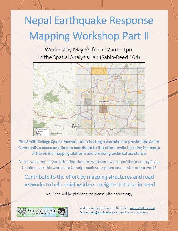
In response to the recent earthquakes in Nepal the Humanitarian OpenStreetMap Team (HOT) has provided an online mapping platform that allows volunteers to help map the infrastructure of the areas in Nepal effected by the earthquakes. Mapping road networks and structures…
Ebola Mapping Workshop Packs Room
On Wednesday night the Spatial Analysis Lab hosted workshop instructor Teresa Clary to lead an 90 minute session on Ebola First Responder Mapping with OpenStreetMap. The workshop was heavily attended, pushing the SAL and its computer capacity to the limits.…
Google Earth Imagery Updates and Curiosities
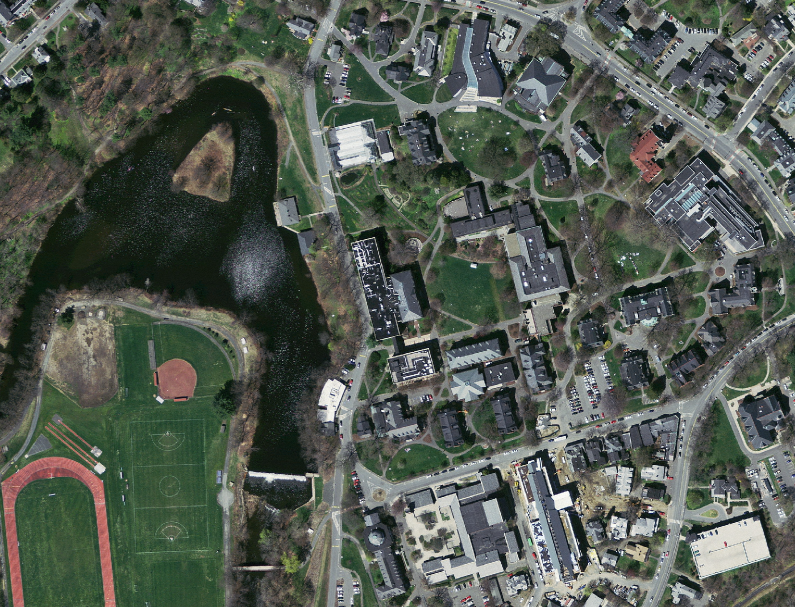
I just noticed a Google Earth imagery update for the Smith College campus area. Great new imagery and quite different from the springtime orthophotography I usually work with. These images are full of plump tree canopies and appear to be…
Landsat Imagery Services
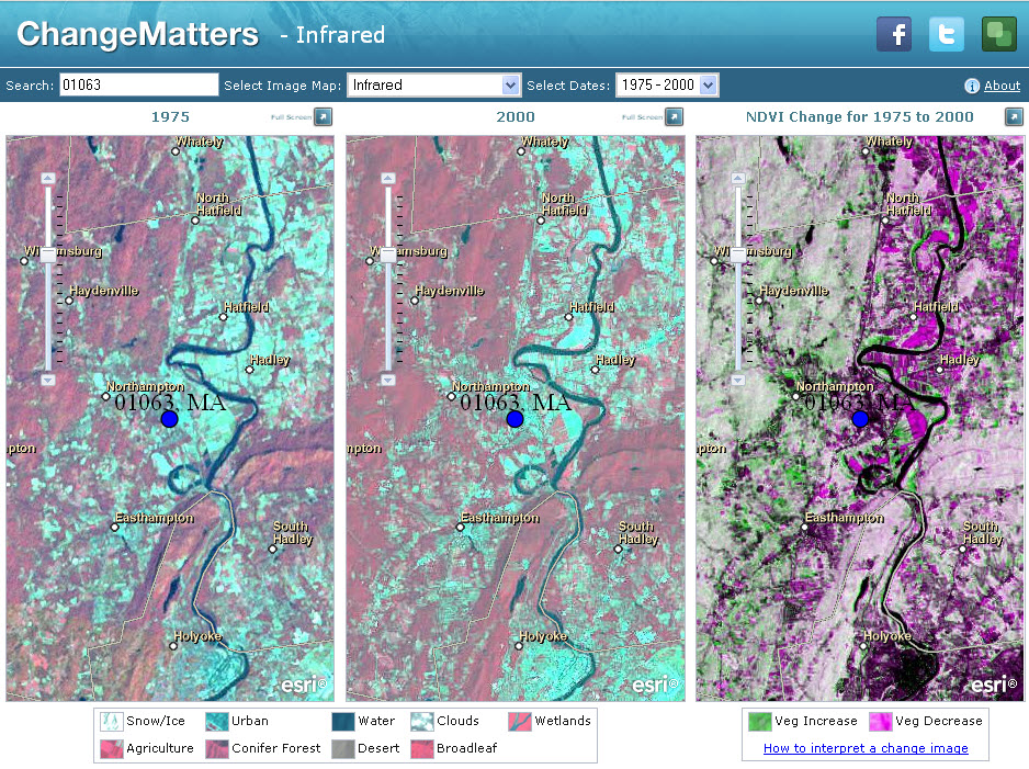
These image services enable fast and easy access to 30 years of Landsat imagery as part of ArcGIS Online.
All Orthophotos Available on GEO
The latest Orthophotos (2008-2009) are now available locally on GEO. You may now load the images from: Q:dataimages2008-2009Orthophotos or gishomedataimages2008-2009Orthophotos Remember, it is much easier to load and use the orthophoto images with image or raster catalogs. Two raster catalogs…