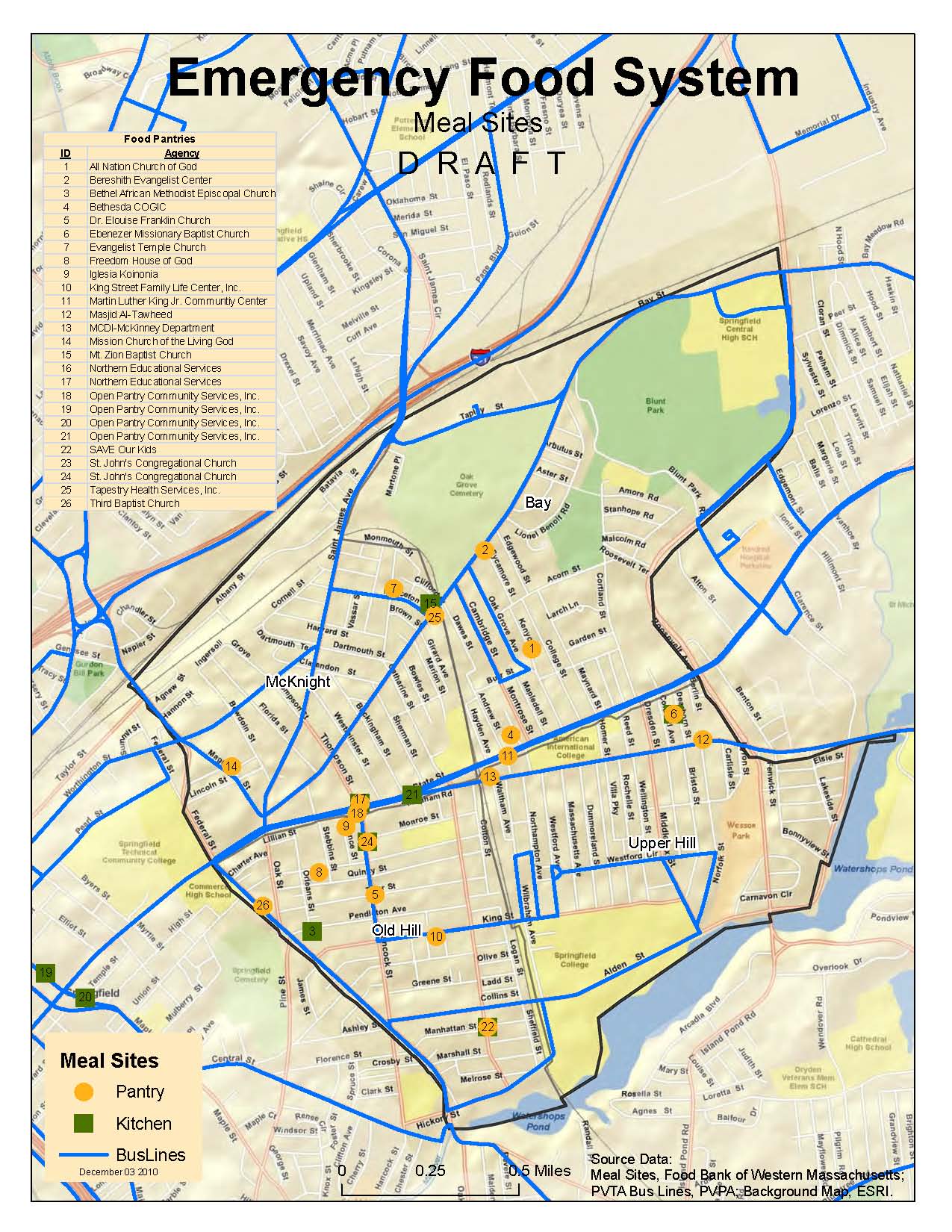
Food Bank Mapping
The Food Bank of Western Massachusetts sought mapping and analysis support from the Spatial Analysis Lab during the summer of 2010. The project is currently on hold, but you can view some of the initial… Food Bank Mapping
The Food Bank of Western Massachusetts sought mapping and analysis support from the Spatial Analysis Lab during the summer of 2010. The project is currently on hold, but you can view some of the initial… Food Bank Mapping
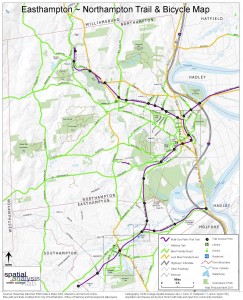
The Spatial Analysis Lab (SAL) recently finished the 2011 version of the “Easthampton ~ Northampton Trail & Bicycle Map” for the Friends of Northampton (MA) Trails and Greenways (FNTG) organization. The 2011 series marks the… Bike Trail Mapping
The Spatial Analysis Lab provided mapping and spatial analysis to Cooley Dickinson Hospital (Northampton, MA) as part of their 2011 Community Health Assessment report.
Back in February 2007 I asked one of my student assistants to generate a new map for the mystery map series. At that time I was very interested in visualizing administrative policies manifestation on the… What does your policy look like?
photo taken June 09 2009 Seeing the sprinklers water the lawn after 0.3″ of rain the other day got me thinking there has to be a better way. I’ll admit that I don’t know how… Watering the rain
What a great time of year. A time to relax, reflect, and smell the springtime flowers. Oh, and yes, there a plenty of opportunities to take in that pesticide residue smell… 🙁 Note: photos are… Springtime on Campus

Illustrating those same data on a map, which ironically, had not been done before, demonstrated the inequities of the proposals and actually helped generate better funding for the disadvantaged districts.