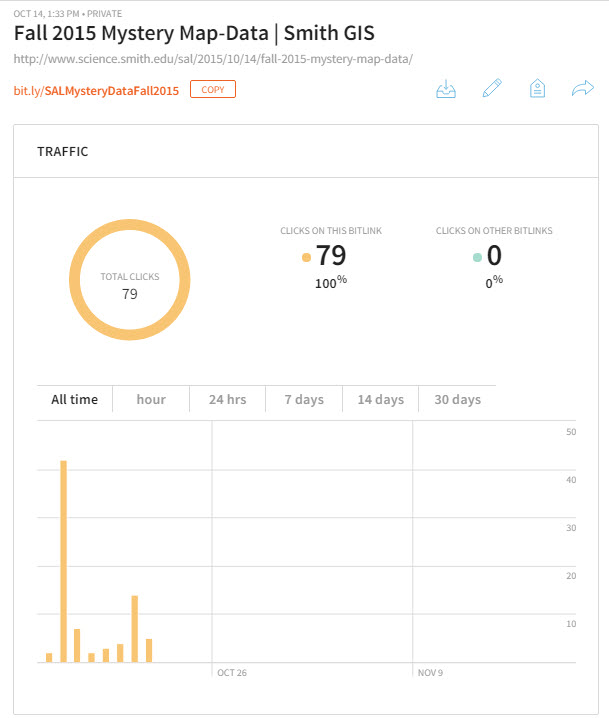
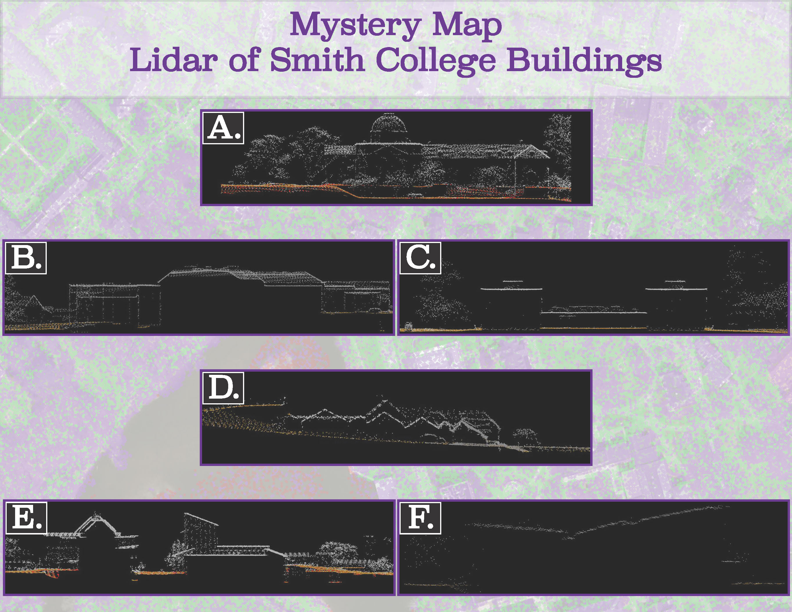
Members of the Smith Community seem quite adept at interpreting LiDAR Point Cloud Cross Sections! Nearly eight (80) folks viewed the challenge and eight (8) submitted answers. Of those, five were completely correct, and the remaining three missed one or two. Surprisingly,…
Fall 2015 Mystery Map-Data
We have cool, shiny new LiDAR data to play with in the Spatial Analysis Lab. These data were captured in December 2013, but we did not receive the final product until earlier this summer. We’ll provide more details about LiDAR,…
Nepal Earthquake Response Mapping Follow-up Workshop
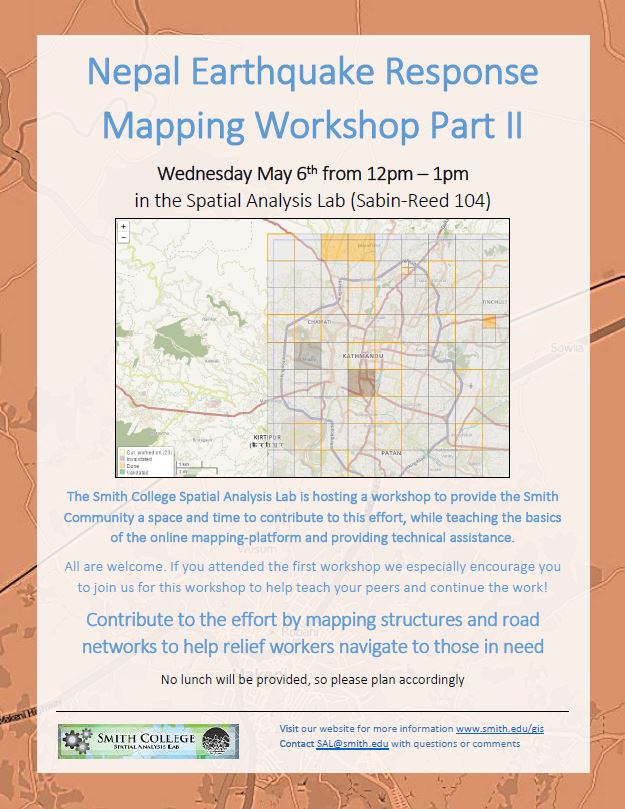
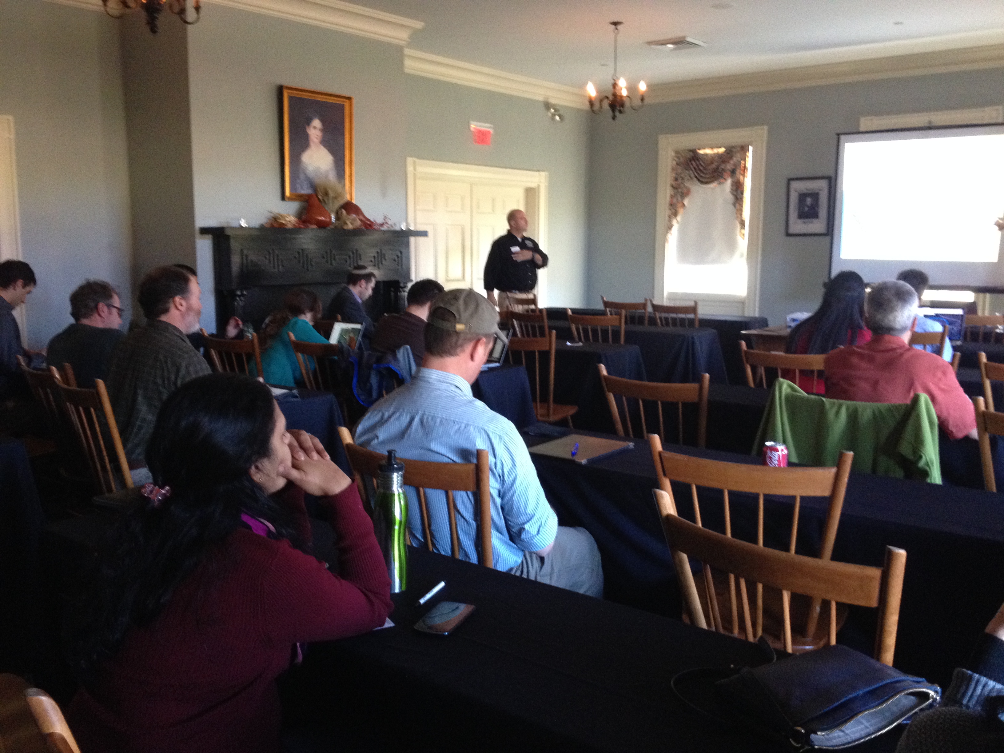
In response to the recent earthquakes in Nepal the Humanitarian OpenStreetMap Team (HOT) has provided an online mapping platform that allows volunteers to help map the infrastructure of the areas in Nepal effected by the earthquakes. Mapping road networks and structures…
Nepal Earthquake Response Workshop Well Attended in the Week Before Finals
The Humanitarian OpenStreetMap Team has developed a project called MapGive, which allows volunteers to populate maps in parts of the world where mapping resources are limited. The idea originated following the 2010 earthquake in Haiti when mapping the island’s infrastructure through GPS surveying…
Contribute to the Smithie Summer Plans (and beyond!) Webmap
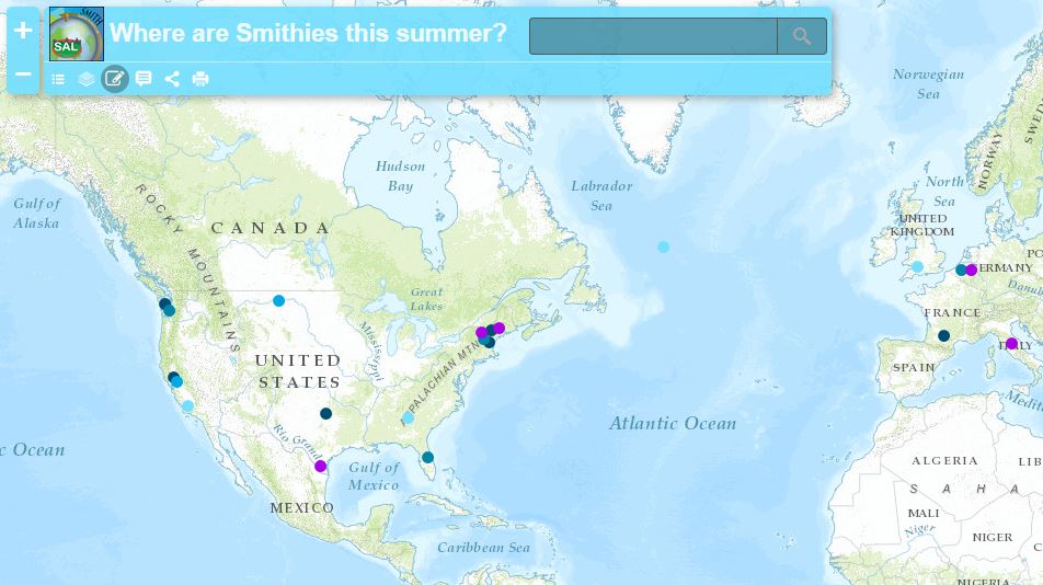
Take a look at our web map to see where Smith students are spending their summer 2015! Explore the interesting research that students will be conducting, the cool jobs students are heading off to work at, the exciting continuing education programs…
November in Review
Well, November was quite a busy month. So busy, in fact, that we were unable to spend time writing weekly updates to post. Our review covers the entire month of November and is organized by type of work: Overview Class Support 1. Study…
November Mystery Map Revealed — Mystery Migrations
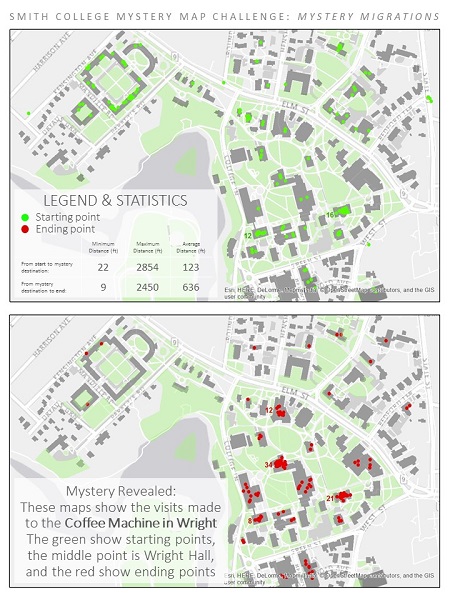
Answer Revealed This mystery map challenged viewers to anticipate movements on campus based on a set of starting points and ending points. What quest is shown on the map?? The journey to the Lewis Global Studies coffee machine! The map was…
Coffee Mapping Project Results
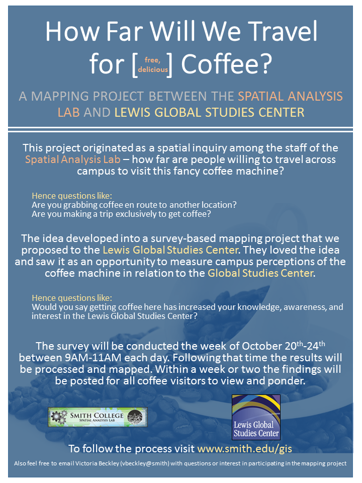
The results from the coffee mapping project are in! Click here to visit the online interactive map application Click here to view compiled maps in PDF form The results contain maps like: Line Density of Travel including Coffee Machine Specific…
2015 Interterm Course Offering
In 2015 the Spatial Analysis Lab will instruct a one week Interterm class open to all students, faculty, staff, and Northampton community members. The course will be taught in the first week of Interterm (Jan 5th – Jan 9th) from…
Mystery Map Challenge — November 2014
To Submit an Answer Click Here