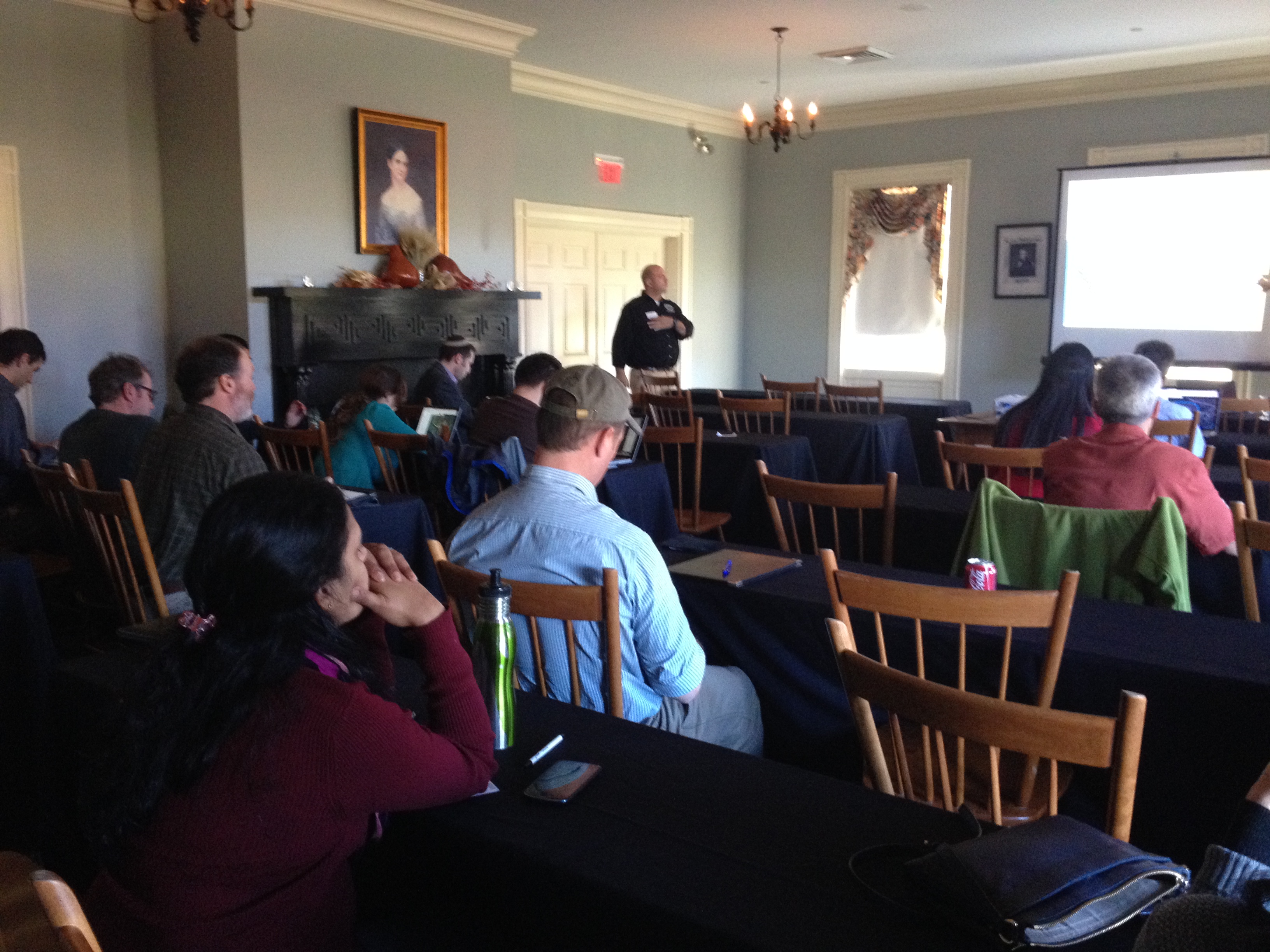
The Spatial Analysis Lab was excited to kick of 2015 with an intro to GIS interterm course in the first week of January Term! 14 students joined us in the SAL for 5 days of GIS exploration with ArcGIS. The course…
Interterm Course 2015 — Recap


The Spatial Analysis Lab was excited to kick of 2015 with an intro to GIS interterm course in the first week of January Term! 14 students joined us in the SAL for 5 days of GIS exploration with ArcGIS. The course…

Well, November was quite a busy month. So busy, in fact, that we were unable to spend time writing weekly updates to post. Our review covers the entire month of November and is organized by type of work: Overview Class Support 1. Study…

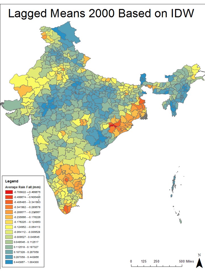
Participations from the SAL during the week of October 13th-17th: 1. Lying with Maps: initial lab session with ENV311 2. Meeting with Lewis Global Studies Center about Study Abroad data 3. Ebola Mapping Workshop at Amherst College 4. Finalized India…

Listed below are some of the updated ESRI Virtual Campus Courses that cover ArcGIS 10. Newer Virtual Campus Web Courses Timeline 3D Analysis of Surfaces and Features Using ArcGIS 10 3 hours 3D Visualization Techniques Using ArcGIS 10 3 hours…

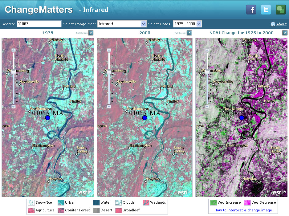
These image services enable fast and easy access to 30 years of Landsat imagery as part of ArcGIS Online.

GIS fans at Smith can find Desktop ArcGIS, version 9.3.1 installed in the following labs:
Bass Hall
Basement 02, 102, 103 (the SAL) and 105*

ESRI is readying the release of ArcGIS 9.2 and there will undoubtedly be changes that affect how you work and / or how your GIS exercises hold up to the rigors of student use. I’ll organize a 9.2 “debriefing” mid…