By Hannah Dillahunt ’21
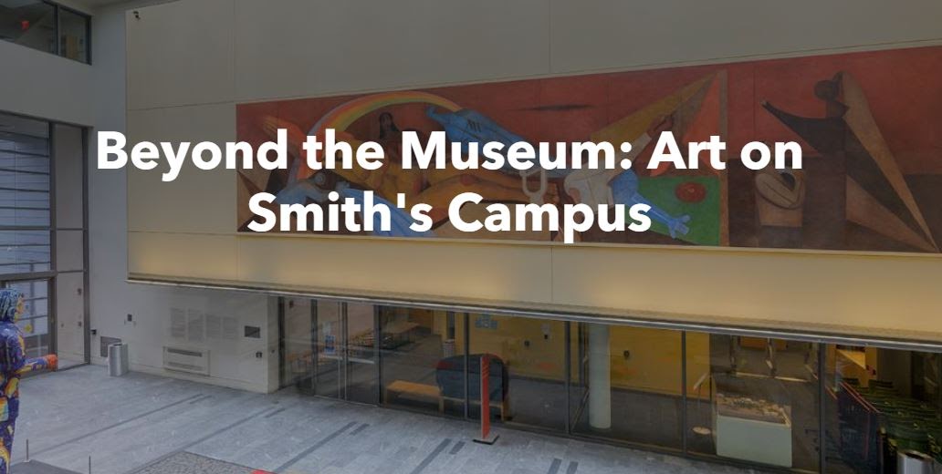
At the beginning of last fall, I started working with the Smith College Museum of Art (SCMA) to create an interactive map for Smithies and visitors to campus to use to explore Smith’s large collection of art that exists outside the museum. This collection includes pieces inside Smith’s academic buildings and outside in areas such as behind the President’s House or on Seelye Lawn. In a time when the pandemic temporarily closed SCMA, this map can be used by people who are looking to find art in the everyday. Working with Emma Chubb, Gina Hall and Lexie Casais, I created a StoryMap that guides the user around campus to find the artworks we pass by on a daily basis.
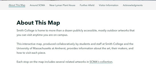
With some help from Lexie on the ground, I used Google Earth from my home in Minnesota to locate and collect the coordinates for art around campus such as the Lanning Fountain and the Great Blue Heron. Using these latitude and longitude points, I created a series of map tours through ArcGIS StoryMap. StoryMap is a great platform for combining spatial knowledge and components like map tours and the stories behind the locations. The Beyond the Museum: Art on Smith’s Campus StoryMap is divided into three sections for users to break up their tour into more manageable walks: Around the SCMA, Near Lyman Plant House and Further Afield. Each section is accompanied by two maps, a static map that shows the location of each artwork in relation to campus buildings and landmarks, and an interactive map tour. The map tour is a satellite image with the locations of each artwork in that section. If you click on one of the locations, it brings you to a zoomed in location showing the user the artworks’ surroundings as well as a description of the piece. These short texts written by students and museum staff, bring the user back into the museum, describing the story behind each piece and how it arrived at Smith’s campus. The user also has the option to select the description on the left hand side of the map tour. When the user clicks on the description, the map zooms into that piece’s location.

A year-long adventure, this was a great opportunity to not only learn about all the functions of StoryMap, but to get to work with Lexie and the staff at the SCMA. I worked across disciplines and combined my skills as an Environmental Science & Policy major and Lexie’s as an art history major. I am very excited for the map to go public, and for Smith students to use it as a resource to learn a bit more about what surrounds them as they walk to class.