Tomorrow, 3/22 from 4:15 to 5:30pm, we’ll offer our workshop “Teaching with Story Maps” for a second time this semester. The workshop will introduce ArcGIS Online’s Story Maps platform and strategies for using it in the classroom. Whether you’ve used Story Maps or have never heard of it, you’ll leave with a better understanding of how Story Maps can be used in any discipline to promote spatial thinking and digital media literacy. The first half will be a presentation and discussion of Story Maps. In the second half, attendees will make their own Story Map. Attendees are welcome to leave after the first half.
What: Teaching with Story Maps
When: Tuesday, 3/22 from 4:15-5:30pm
Where: Spatial Analysis Lab (Sabin-Reed 104)
Next Thursday, 3/31, from 4:00-5:00, we’ll offer a workshop called “Map your Meal with CartoDB”, in which participants will learn the basics of CartoDB, a free and cutting-edge web mapping platform. This is my web-mapping tool of choice – I’ve used it to create the carillon map, the snowflake map, and the zika map, among others – as it allows for a tremendous amount of cartographic control, more than many desktop GIS programs, even. We’ll walk you through different ways to analyze and visualize where the ingredients of a recent meal (either one you prepared or one served in the dining halls) were produced.
What: Map your Meal with CartoDB
When: Thursday, 3/31 from 4:00-5:00pm
Where: Spatial Analysis Lab (Sabin-Reed 104)
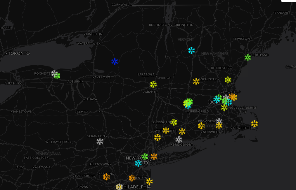
The “Snowflake Map” designed in CartoDB