Step aside Facebook, Instagram, and Buzzfeed: procrastinate productively and challenge your spatial reasoning skills with the SAL’s latest Mystery Map Competition!
Click on the image to see the full the Mystery Map. For best results, use a computer rather than a phone or tablet.
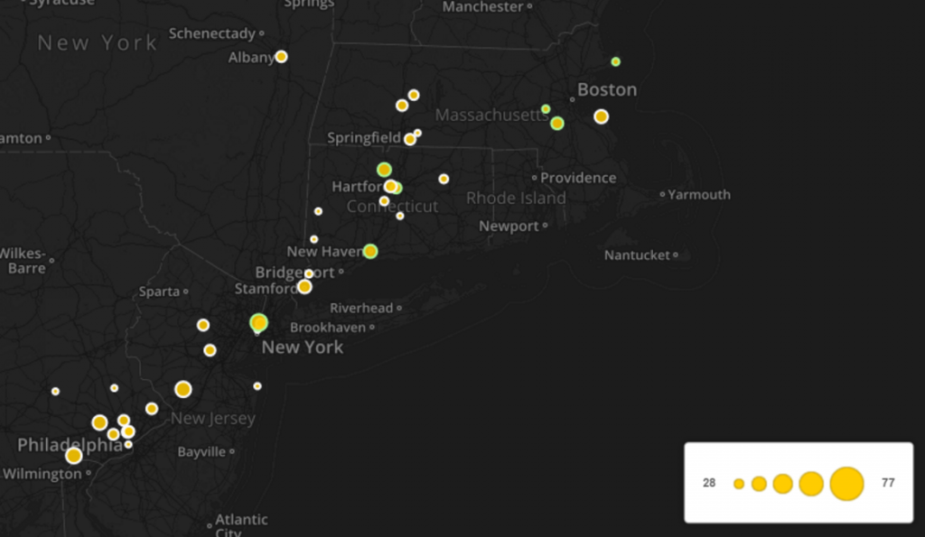
This Mystery Map is an interactive, multimedia map developed using CartoDB. We recommend taking some time to explore the map to see if that helps you answer the following questions:
1. What can you find at each of the circles shown on the map?
2. What does the size of each circle represent? (Refer to the legend in the bottom-right for some help on this one.)
Two hints to help get you started: First, for many of you the answer to the first question will seem obvious at first, but it’s probably not as obvious as you think! Do a little Google searching and be as specific as possible in your answer to the first question.
Second, make sure you have your volume turned up (and your headphones in if you’re in the library) before you click on any of the circles (especially the ones outlined in green…)
When you think you have a guess, fill out the form below. We welcome multiple submissions if you have a few possible guesses!