Well, looks like it’s time for another news update! My excellent intentions to write a short blog-style post about Spatial Analysis Lab activities are always undermined by my less-than-excellent ability to keep track of the weeks as they fly by at a breakneck pace. Fall Break just ended and as we prepare to support some additional classes in the second half of the semester, it’s a good time to stop and reflect on our work over the past six weeks.

Demonstrating the importance of picking a projection using a true Data Science example
This semester, we have some new classes using geospatial technology and the Spatial Analysis Lab, along with the usual suspects. A new class at Smith, Mth-292: Data Science, incorporated a unit on spatial data analysis in R into the larger curriculum on data analysis and data management. Branching out into R is a fairly new direction for the Spatial Analysis Lab, but an invaluable tool to have in our arsenal as this software is gaining popularity across disciplines for its flexibility and analytical power. The Data Science students spent a day learning the basics of visualizing spatial data– projections, classification schemes, colors and symbology, and everything in between!
ENV-311: Interpreting and Communicating Information was another new class to the SAL this semester. While students in previous semesters of ENV-311 had considered the role of maps in communicating data about the environment, this was the first semester that they came down to the Spatial Analysis Lab to do an exercise in ArcGIS. The students considered a census shapefile containing socioeconomic information overlaid with an environmental layer of the location of Toxic Release Inventory Sites in the Pioneer Valley, and used their knowledge about statistical and cartographic standards to symbolize the data in a way that made a visual argument about environmental justice in Western Massachusetts. The results were very impressive!
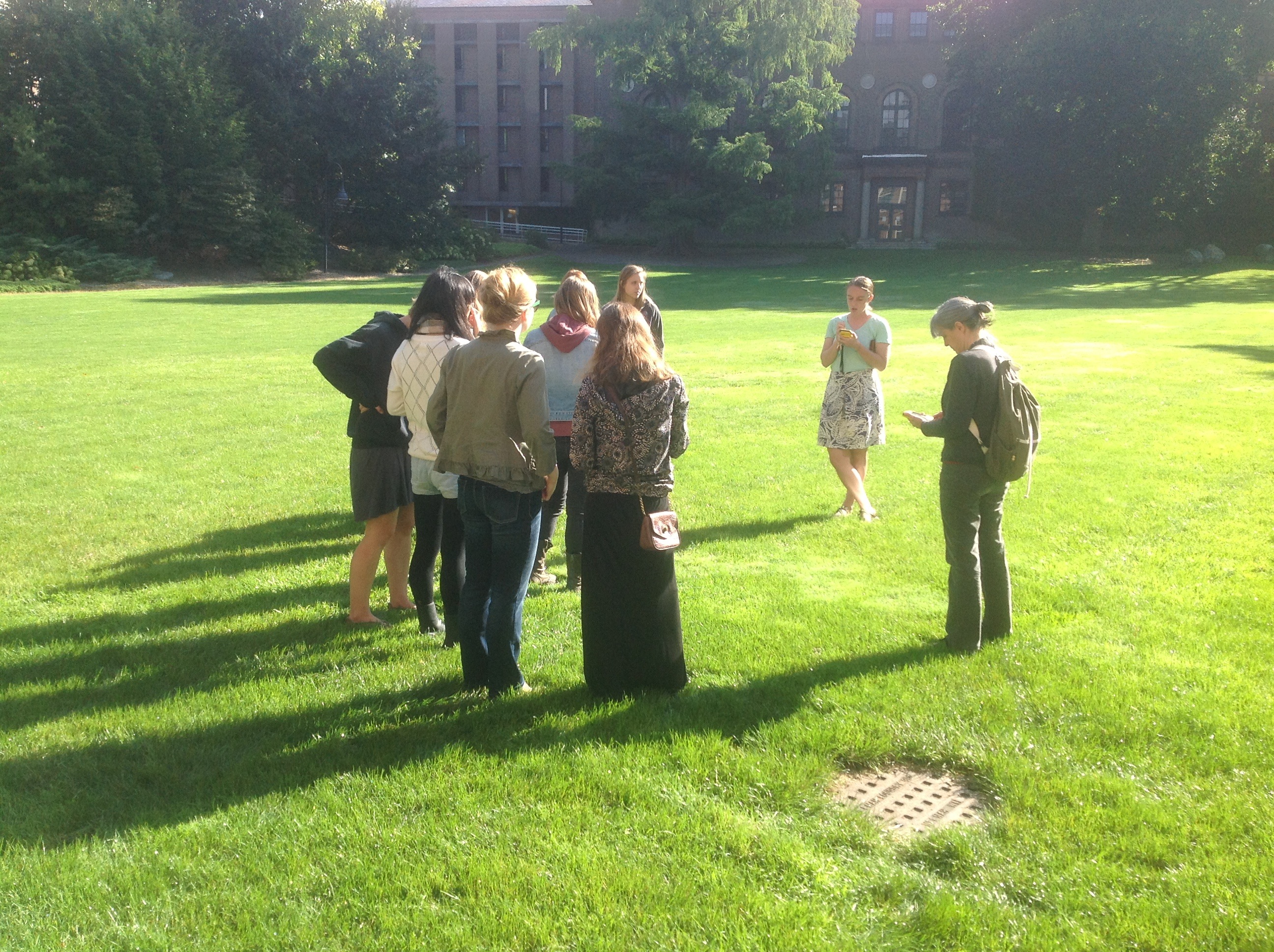
The GEO-150 students get outside with the GPS units on a lovely fall day
Finally, the “usual suspects” I mentioned above aren’t just the same old stuff– every year the classes develop and change to accommodate what we learned from previous semesters. While GEO-105: Natural Disasters looks much the same as it did last year, Jon and Cory have worked with Professor Loveless to rework the GEO-150: Introduction to GIS slightly, revising the modules so that they have a local data theme. So far this experiment seems to be helping students connect with the module topics, but we will report back after the semester draws to a close!
As usual, there is never a dull moment in the Spatial Analysis Lab. When not working with the classes mentioned above, we’ve been:
- Conducting workshops on a variety of topics in GIS and GPS to bring spatial thinking to the broader campus community
- Collaborating with our excellent student employees on a range of interesting projects including everything from kite aerial photography to updating the SAL website to conceptualizing a “subway”-style map of Smith Campus
- Working one-on-one with Engineering and Geoscience students who are undertaking a senior thesis or senior design clinic project
- Teaming up with the Smith Educational Technology Services team on their annual Fall Seminar for faculty and staff, which focused on mapping
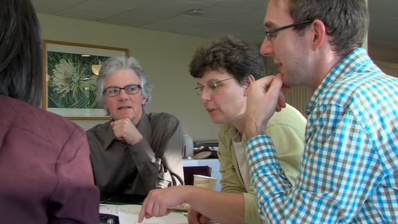
Faculty and staff thinking spatially during the 2013 ETS Fall Seminar interactive mapping game