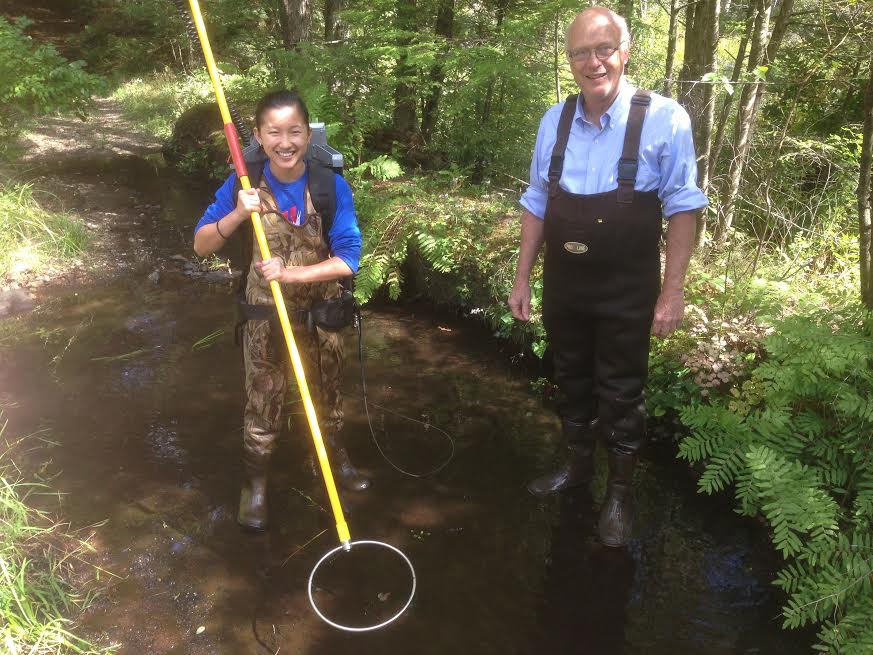
 Professors Bob Newton (Geosciences) and Bob Merritt (Biology) are co-teaching a research methods course for first year students called Biogeochemical Cycling in the Avery Brook Watershed. The course includes field-based research in which students gather water samples, conduct electro-fishing, collect soil samples, and test soil cores. As a part of gathering all of this data the class is using the Spatial Analysis Lab’s GPS units to locate the points of data collection. Each student participated in the GPS I & II workshops offered by the SAL this fall to familiarize themselves with the units before going out into the field.
The class has also worked in the Spatial Analysis Lab to use GIS to better understand the Avery Brook watershed area and create a landcover layer based on the orthophotos available for the area.