previously known as “Gardens – GIS Transition” ca. 2009 – 2013. Renamed Smart Campus in 2014
Schedule~ Mission ~ Participants ~ Demo ~ GIS Database ~Minutes ~ Links ~ Background ~ Mobile ~ Maps ~ Stories ~ Images ~ Equipment
Mission
The Smart Campus initiative promotes and enables spatial data sharing within the Smith College community to increase efficiency and inform decisions that involve campus operations and activities.
Objectives
- ensure shareable data are easy to find/discover and accessible
- develop tools and systems to access spatial data
- establish best practices for generating and maintaining spatial data
- develop tools and systems that enable spatial data to be born digital
- incorporate students in creation, curation, and use of campus spatial data
Schedule
2013
February 14 – 9:00 Gardens
February 21 – 9:00 Campus Geodatabase
February 28 – 9:00 Gardens
March 07 – 9:00 Campus Geodatabase
March 14 – 9:00 Garden
March 21 – no meeting – spring break
March 28 – 9:00 Campus Geodatabase
April 04 – 9:00 Campus Geodatabase
April 11 – 9:00 Gardens
May 02 – 9:00 Gardens and Campus Geodatabase
May 23 – 9:00 Gardens and Campus Geodatabase
2013-2014
September 25 – 11:00 Gardens and Campus Geodatabase
December 04 – 11:00 Smart Campus
January 17 – 10:00 Smart Campus
February 11 – 10:00 Smart Campus
February 25 – 10:00 Smart Campus
2015
February 13 – 10:00 Smart Campus
February 20 – 10:00 Smart Campus
February 27 – 10:00 Smart Campus
March 6 – 10:00 Smart Campus
March 13 – 10:00 Smart Campus
March 20 – no meeting – Spring Break
March 27 – 10:00 Smart Campus
April 3 – 10:00 Smart Campus
April 10 – 10:00 Smart Campus
April 17 – no meeting
April 24 – 10:00 Smart Campus
May 1 – 10:00 Smart Campus
2016
September 06 Smart Campus
October 13 Smart Campus
October 25 Smart Campus
Participants
(in alphabetical order)
Jon Caris, GIS Specialist/Coordinator SAL, ES&P (2004 … )
Elaine Chittenden, Manager of Living Collections, BG (2009 … )
Jay Girard, Landscape Manager, BG (2012-2016)
Gary Hartwell, Facilities Management (on sabbatical from group – 2013)
Polly Ryan-Lane, Manager of Special Projects, BG (2010 …. )
Cheryl Obremski, Draftsman & Engineering Aide, FM (2004 … )
Michael Marcotrigiango, Director, BG (2009-2015)
Monica Messer, Groundskeeper, BG (2014-2015)
Scott Gilman, SAL (2015 – )
GIS Database
Orthophotos that cover campus (MA State Plane Meters coordinates):
- 10528975
- 10678975
- 10528960
- 10678960
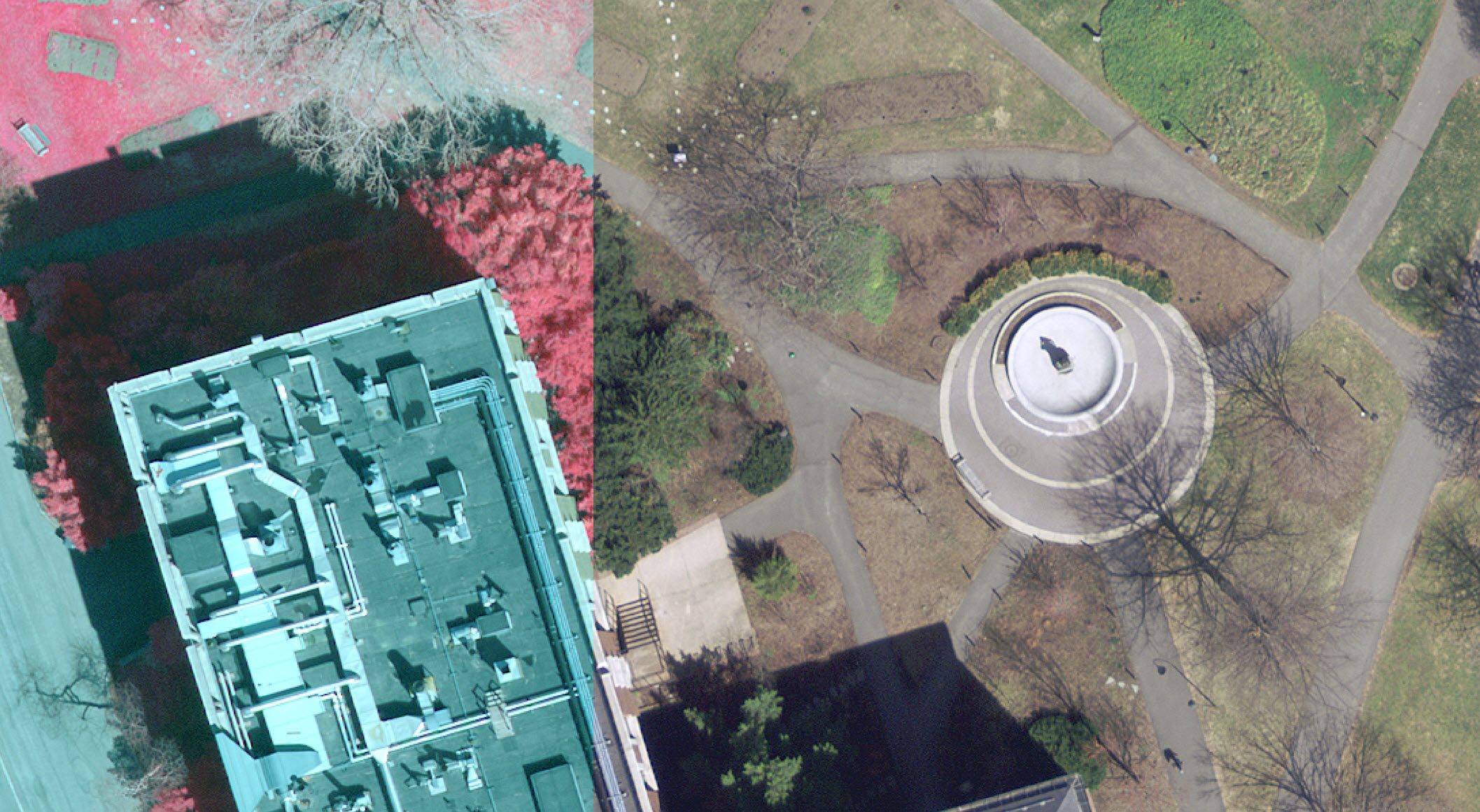
2015 CIR & Visible
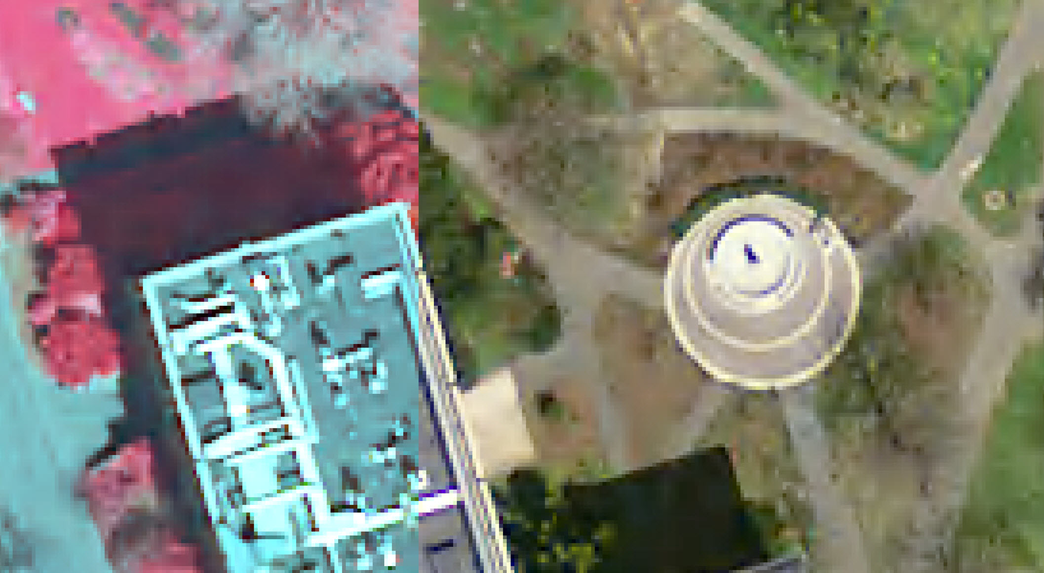
2013 CIR & Visible
2005 Visible
2009 Visible

1997 Visible
Meetings & Minutes
Regular Weekly Meetings – Wednesdays 10:00 – 12:00
- 09/21/2011 (JC, EC, JG, PRL, CO,MM)
- 09/28/2011 (JC, EC, PRL, CO)
- 10/05/2011 (JC, EC, PRL, CO, JG)
- 10/12/2011 (JC, EC, PRL, CO, JG)
- 10/26/2011 (JC, EC, PRL, CO, JG)
- 11/10/2011 (JC, EC, PRL, JG, GH) – GPS Fieldwork
- 12/01/2011 (JC, EC, JG) – Fieldwork with Forms (iPad and iPhone); ArcGIS.com
- 01/11/2012 (JC, EC, GH, PRL, CO)
- 02/02/2012 (JC, EC, GH, PRL, CO)
- 02/23/2012 (JC, EC,GH, PRL, JG)
- 03/08/2012 (JC, EC, PRL, JG, CO)
- 03/29/2012 (JC, EC, PRL)
- 04/19/2012 (JC, EC, GH, CO)
- 04/26/2012 (JC, EC, JG, CO, GH, PRL)
- 05/12/2012 (JC, EC, GH, JG, CO, PRL)
- 05/24/2012 (JC, EC, JG, GH)
- 05/31/2012 (JC, EC, JG, GH, CO, PRL, AD(student intern))
- 06/14/2012 (JC, JG, GH, PRL)
- 06/18/2012 (JC, JG, PRL, EC, CO and guests: Tom Laughner, Madeline Zadik, Sarah Moriarty, Elisa Lanzi, Emily Barbour)
- 07/06/2012 (JC, EC, JG, CK, EB)
- 07/20/2012 (JC,EC,JG,CK,PRL)
- 09/25/2012 (JC,EC,CK,GH,PRL)
- 10/16/2012 (JC,EC,CK,GH,CO,PRL)
- 10/23/2012 (JC,EC,CK,PRL)
- 11/15/2012 (JC,EC,CK,JG,PRL,CO,SW)
- 12/04/2012 (JC,EC,CK,JG, PRL)
- 12/11/2012 (JC, EC, JG, CO, CK, PRL)
- 02/14/2013 (JC, EC,JG,PRL,CK)
- 02/28/2013 (JC,JG,PRL,CK)
- 03/07/2013 (JC,CK,PRL,CO) – campus basemap subgroup
- 03/14/2013 (JC,JG,PRL, CK, EC and TC)
- 04/11/2013 (JC, JG, CK, EC)
- 05/02/2013 (JC, CK, CO, PRL)
- 05/23/2013 (JC, CK, CO, EC, PRL, JG)
- 09/25/2013 (JC, CK, EC, PRL, JG, CO, NR (Nancy Rich, guest))
- 12/04/2013 (JC,CK,EC,JG,CO)
- 01/17/2014 (JC,EC,JG,CO,PRL)
- 02/11/14 (JC,EC,JG,CO,PRL,CK)
- 02/25/2014 (JC,EC,CO,PRL,CK)
- 03/11/2014
- 03/25/2014 (JC,EC,CK,JG,PRL)
- 04/15/2014 (JC,EC,CO,JG,PRL,CK)
- 02/13/2015 (JC, EC, CO, JG, PRL, ES, VB, MM)
- 02/20/2015 (JC, EC, JG, PRL, ES, VB, MM)
- 03/27/2015 (JC, EC, JG, PRL, ES, VB, MM)
- 03/06/2015 (JC, EC, PRL, ES, VB, MM)
- 03/13/2015 (JC, EC, JG, PRL, VB, MM)
- 03/27/2015 (JC, PRL, ES, VB, MM)
- 04/03/2015 (JC, VB, MM)
- 04/10/2015 (JC, EC, ES, VB, MM)
- 04/24/2015 (JC, EC, ES, VB)
- 05/1/2015 (EC, ES, VB)
- 09/06/2016 (EC, JC, SG, CO, PR)
- 10/13/2016 (EC, JC, SG, CO, PR, JA, PG, AB, SS)
Links
SmithCollege ArcGIS Online Account
(new-Feb 2013) Smith College Public Maps Gallery
- *New – August 2013: BG-Connector on GitHub from the Arnold
- Alliance for Public Gardens GIS (Website)
- Alliance for Public Gardens (Google Group)
- Arnold Arboretum – Collection Researcher (online webmapping) Press Release and Video
- Arnold Arboretum – Presentation by Donna Tremonte at NEARC2012
- Arnold Arboretum – Presentation and Recording by Donna Tremonte at GIS Day 2012
- Workshop videos
- Data Model Poster
- Community Maps Program Resource Page
- Training and Self Paced Learning
- Some background Videos
- Data from Instructor Led Workshop(taken 11/29/2012 – only accessible from Smith Domain)
- SmithCollege GIS @ ArcGIS.com
- ArcGIS.com – maps and Garden Group (requires login)
- ESRI – GIS for Libraries and Museums (includes Botanical Gardens and Zoological Parks)
- Montgomery Botanic Garden – ArcGIS.com application
- (new 4/2013) Facilities Management
- (new 11/2013) ESRI “Sharpen Your Skills” Seminar resources
SAL
Spatial Analysis Lab Video Tutorials (exit to Vimeo)
BG-BASE and BG-MAP related
- BG-BASE Tables Decscriptions
- Garden Notepad
- GreVid
- User Manual downloads
New iPad Buzz
iPad & iPhone Field Use & Apps
- ArcGIS iOS and Offline Mobile GIS
- Earth Rover
- leafsnap
- Field Flag
- Formstack
- Treeworks – from the Kennerson Group
- Geospatial Technologies in Education – good overview and some analysis of using iPads in the field
Background Papers & Files
- Growing Up: From AutoCad with ArcGIS, Ericka Witcher, 2010 ESRI UC
- Explanation of boundary areas from Brian Morgan
- Arnold Database Schematic


Mobile
excerpts from our grant request
As our initiative continues, it is clear that students equipped with mobile technologies could be an integral part of a mutually beneficial learning process.
Our primary goal is to establish methods and protocols for field data collection that would support general research, digital asset management, and promote a “landscape as a classroom” learning environment. Additionally, data access and sharing will be enhanced, and in some cases, available for the first time, by enabling mobile data collection on campus. Another goal is to develop capacity for rapid data collection and assessment on or off campus. For example, a 10 person team composed of students, faculty, and staff could be deployed on campus to asses and document landscape and building damage after a major storm event. Many of the data collection and assessment efforts we propose would result in cost savings and impact the safety of all those on campus.
Below is part of a growing list of goals and activities identified by our working group:
- Assignment of work tasks based on tree and shrub inventory and assessment.
- Develop an internal “dig safe” program by documenting underground utilities (gas, water, sewer, electric, fiber).
- Update and maintain spatial record of all surface utilities (e.g. street lights, emergency phones, sidewalks, signage, etc.).
- Establish new avenues for public outreach by liberating data for greater access.
- Develop capacity to capture problems and emergencies as they occur (rapid assessment).
- Tree preservation data collection and management.
- Develop intuitive work flows and document field practices to facilitate campus use adoption.
- Encourage contractors to adopt our field practices to enable efficiency and eliminate mistakes.
- Integrate a disease and insect management program into a mobile collection.
- Support students in the existing Summer Internship Programs.
How will this project impact the way you teach and the way your students learn?
Students will have a more complete picture of state of the art field data collection and digital asset management. They will use and learn emerging technologies associated with mobile data collection and they will recognize the efficiencies of collecting digital data at the source. Students are very comfortable with mobile technologies but most have little experience in using them in an integrated workplace and on practical applications.
Our workgroup developed the following list of teaching and learning opportunities:
- Students will use and learn the latest and emerging technologies
- Students will gain real experience in an integrated work place consisting of a multidisciplinary team using modern approaches to mobile data sharing
- The projects create opportunities to learn skills and techniques through hands on experience
What, if any, connection does this project have to your research?
Currently, we envision connection to three research areas / projects with many more to follow:
Order of Bloom
The Order of Bloom walk consists of student observations of plants in real time on a regular basis. The data has been used worldwide as one method to assess climate change as plants react seasonally by speeding up or slowing down their dates of bloom (“phenology”). The Spatial Analysis Lab has tracked and digitized the “Order of Bloom” walk since 2008. The “walk”, conducted each spring, tracks the phenology of 50 campus trees and shrubs. Adding the utility and intuitiveness of an iPad will significantly enhance the documentation procedure. Students from the horticulture class will be able to actively add to this research agenda. See page 13 at http://www.smith.edu/garden/Newsletter/newssp11.pdf for a brief description.
Hazardous Tree Assessment and Modeling
The genesis for the Hazardous Tree Model began in 2006 with a tree health survey and developed more fully during the summer of 2008 with the integration of GIS technology. This student project had its conception when legal consultation from Smith legal counsel which determined that an intelligently designed tree maintenance program was crucial to develop a legal foundation for any accidents generated by poorly maintained trees. Funding this proposal will help advance this research and enable students to comprehensively capture tree conditions for input into the data model. The Hazardous Tree Model is designed to create a “smart map” for managing and prioritizing yearly tree maintenance based on tree age, condition, species, etc.
Summer Internship Research Projects
The majority of Botanic Garden summer research projects are field based. Many of these projects assess and analyze the spatial distribution of plant species or other influencing natural and man-made landscape features. An overview of the summer research projects from the past 5 years is available at: http://www.smith.edu/garden/Academics/intern%20projects/year/student-projects-year.html
Where did you get the idea for this project? (colleague, article, original idea, etc.)
The idea evolved casually at first, as different units on campus began discussing the need to share data to eliminate redundancy and prevent mistakes (e.g. the accidental removal of a healthy memorial tree, the rupturing of a water line with a tree spade). In time, a group formed and from our weekly meetings and demonstrations led by Jon Caris, GIS Specialist, we realized the need to expand our efforts and engage the student body. Additionally, this proposal is an extension to the 10 year collaboration between the SAL and the BG using of GPS technology to map and inventory the campus accessioned plant collection. Subsequent communications indicated that other college campuses and botanic gardens are implementing mobile data collection (e.g. the Arnold Arboretum at Harvard University) and by Smith engaging in these methods it allows Smith’s premier collection to be more readily accessible to other academic institutions.
Stories
Some Real ~ Some Possible
A small flowering tree mapped by traditional mapping is not correctly placed. Designers of a new athletic field decide it is dispensable and want to remove this tree because it is in conflict with the synthetic field surface being installed. We unsuccessfully attempt a midsummer transplant since there is no turning back on the field project. If the tree appears on a survey of the area that is screened by the Botanic Garden, we can stop the project in design phase so that accommodations can be made.
We hire a landscape company to bring in a big tree spade to move three trees to a new location. When the first hole is dug we hit a large caliper clay pipe which starts running water. The entire operation is stopped as we fear we hit an active drain. After several hours of investigation we find it to be a defunct unmapped drain abandon during the renovation of a building. Knowing this in advance saves time and money (contractor hired by the hour).
We want to plant a rare tree on campus in a location that puts its roots equidistant from underground facilities so that if infrastructure repair is needed the tree is minimally affected by the excavation.
A storm damages several trees. Is the damage in a pattern that is linked to wind tunnels created by buildings or perhaps only to trees that are growing in the sandy soils on campus?
A more recent scenario
On Friday, Apr 6, 2012 at 3:45 PM, ######## wrote:
Who should I report this to?
Jay said when they were digging out the remaining live trees (all were doing poorly) in front of the Art Museum to the right of the flight of concrete steps they hit a buried brick wall or something.
I’m not going to relandscape the Museum if there is a wall buried under the soil. So, it needs to be address somehow
Your thoughts?
Monday 4/9/2012 7:12 AM >>>
I’m not sure, I can’t remember seeing anything there before. I will check some old blue prints and see if I come up with something. I’ll get back to you.
8:43 AM, ###### wrote:
I hope the last renovation did not include someone burying an old wall to get rid of it.
8:57 AM, ????? wrote:
I doubt that, we never bury anything but it could be something old they left behind.
9:03 AM, ????? wrote: >>>
Ok, I think we got it. It is part of the old pre 1970 building. It looks to be an old ramp of some kind.
Images
Mapping New Trees on Campus – bit of GPS equipment testing (June 2012)


Learning to use GPS technology to map new fiber optic cable (October 2011)


Exploring iPad Accessories at the Computer Store (February 2 2012)


Learning GPS and Laser Range finder data collection techniques (February 16 2012)


Maps
BG Locations (updated January 30, 2013)
View Larger Map
Link to interactive Map Application
Trees Replaced after loss during October 2011 storm
Link to Interactive Map Application
Water Spigot Locations with Buffers (hose reach) – Link to Map Application
Data Collection led by Jay Girard with assistance from Spatial Analysis Lab, student assistants, and additional Botanic Garden staff. Data editing and map development support from the Spatial Analysis Lab and Garden-GIS Transition Group (map removed, Feb 13, 2013)
Previous sample maps – showing locations of tree damage from the October 29, 2011 storm.
Data Collection led by Jay Girard with assistance from Spatial Analysis Lab student assistants and Botanic Garden staff. Map development by Spatial Analysis Lab as a demonstration of web map capabilities.
more sample maps are available here
Botanic Garden Locations. Data editing by Polly Ryan-Lane.
New / Replacement Trees 2012 (map removed, Feb 13, 2013)
Equipment Reservation
Request / Reserve iPad or Android Tablet
Administrative
Internal wiki