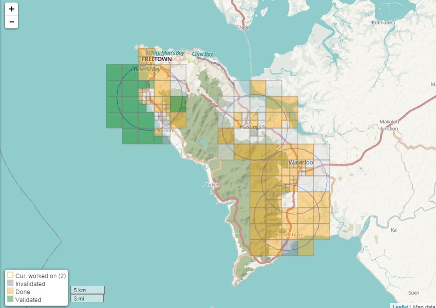
This is an on-going project hosted by the Spatial Analysis Lab on campus. The project is intended to be an access point for students to the Humanitarian OpenStreetMap Team’s efforts to map features in West African countries that are most Ebola stricken. Our project includes teaching students, staff, faculty, and community members to use the online map editing tools, as well as to engage the Smith community in conversation around the topic.
The Spatial Analysis Lab hosted its first workshop on October 8th, details here, and is hosting a second workshop October 23rd, flyer here. This effort will continue to be fueled by student interest, so look for more events in the future.