BIO273 ~ spring 2012
4 Students
1 Lab Section
From the course catalog:
A largely anatomical exploration of the evolutionary origins, adaptations, and trends in the biology of vertebrates. Enrollment limited to 20 students. BIO 272 is normally taken with or prior to BIO 273.
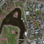
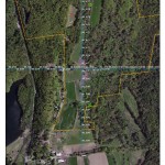
Birdhouse Locations at MacLeish Field Station, West Whately, MA
2012 Lab Prep
Field Training Map – Campus Transects
Preparing Transects and Waypoints
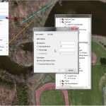
- Transects are generated by editing features (polylines) snapped to birdhouse locations. Lines are created using distance and length hotkeys (Ctrl L, Ctrl A) to precisely delineate transects.
- Transects are then split during the editing process by selecting a single transect, choosing “split” on the Editor menu and selecting Distance, Equal Parts or Percentage for split.
- Transect vertices (created from the split) are converted to points (waypoints) using the Features to Point command.
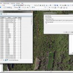
- The attribute table is updated/editing to add a naming convention for the waypoint IDs (e.g. BB_N01).
- Additional fields (type:double) are added for coordinates (Lat, Long, X, and Y) and calculated with Calculate Geometry.
- The attribute table is then exported as a text file, formatted into a compatible ASCII file ready for import into Pathfinder Office.
- The waypoints are then loaded onto Trimble GPS units for field use.
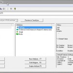
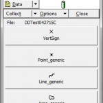
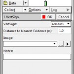
GPS Data Collection
Data Dictionary File
Sample Field Map
Planning for future data collection
GPS Data Collection Enhancements
1. Yes/No attribute to indicate if location is currently a waypoint (or not)
1a. In addition or alternatively, new attribute to indicate if location is to be revisited (future waypoint)
2. Walk X distance in Y direction to collect data at new location
3. Note sign/evidence in Y direction, X distance from current location
4. Note sign/evidence situation (tree, overhead, pond, etc…. other)
5. At Field Station – process data immediately upon return
Additional Items:
1. Radios (walkie-talkies)
2. Laminated Maps (or plastic envelopes)
3. Clipboards (for maps)
