In addition to our regular workshops and the ten classes we plan to work with this semester, the SAL staff have some exciting projects on the plate for this fall!
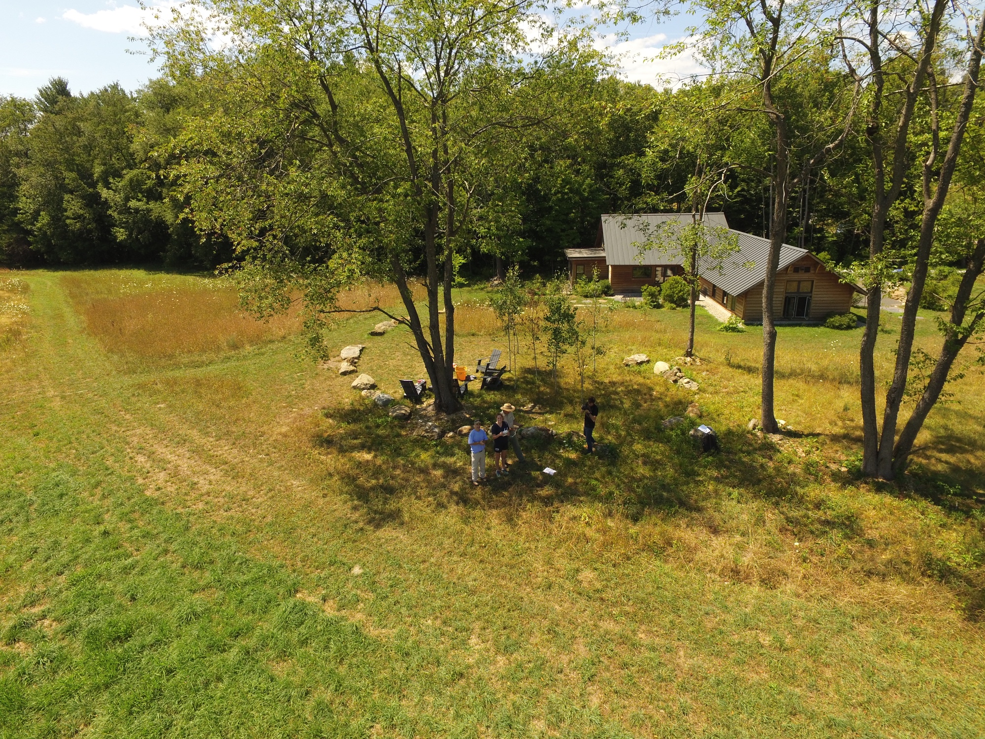
Drones
Back in June, the FAA announced new regulations on drone flying that went into effect on August 29. The new rules make it much easier for faculty and staff in higher education to obtain a permit to fly drones. Thanks to this change, we plan to ramp up our drone program by involving more students, doing practice flights on a weekly basis, and formalizing how we prepare and execute missions. If you’re a student and are interested in flying drones, or if you’re a faculty or staff member and are interested in using drones in your research or teaching, please get in touch with us at SAL@smith.edu.
Blended learning
We received a grant last spring which will help us explore how blended learning can supplement GIS instruction at Smith. For our purposes, “blended learning” means leveraging web materials to allow students to learn the basics of GIS at their own pace, outside of class, so that they can focus on projects during class. To that end, we plan to develop a series of modules to help students and others learn topics ranging from adding data to ArcMap to the principles of cartographic design. Each module will consist of video lectures, tutorials, and interactive applets that permit hands-on experience with important concepts before digging into the technical details of ArcMap. During several of our workshops this semester, we will offer attendees a chance to test out these new materials. If this interests you, make sure to check back on this blog for our workshop dates, or email one of us.
Story Maps
At least four of the classes we’ll work with this semester include a Story Map component. Two of these classes are first year seminars: Michelle Joffroy’s Tierra y Vida: Land and Ecological Imagination, and Sarah Hines’s The World Water Crisis. Story Maps give us a unique opportunity to consider the role of maps and spatial analysis fit in the digital humanities, and we look forward to further exploring this topic with our classes.