Last week kicked off with the celebration of historic Mountain Day. While the students ventured into the mountains and apple orchards, the Spatial Analysis Lab was processing GPS data collected by Professor Amy Rhodes and Alanna Sparagna, a senior student who sacrificed her final Mountain Day to be in the Lab. Project details here. We also watched a UCGIS webinar on blended learning in a GIScience course.
We announced the winner to the year’s first Mystery Map challenge and congratulate 2x winner Sam Masinter. We also met with Allyson Ciccarone (’17), Hannah Searles (’18), and Professor Carol Berner who are collaborating on a project to investigate local waters with elementary school students in the Northampton area. The group wants to integrate paper maps into the project to engage students in their school grounds in an exploratory way before they head outside.
Our post-bac fellow, Victoria Beckley, met with the library staff to discuss recent developments in the Spatial Analysis Lab and how we can work collaboratively as academic resources on campus, hopefully a library-staff webmapping workshop will be put together as a result.
The SAL welcomed its two new programmers, Ren and Sol, who will be with us for the academic year. They will begin updating work from last year to recast the Smith Calendar into a map based visualization that we believe will be more intuitive and easier to use! Ren and Sol will also start to explore programming small UAVs, or drones, to support a Five College Digital Humanities project.
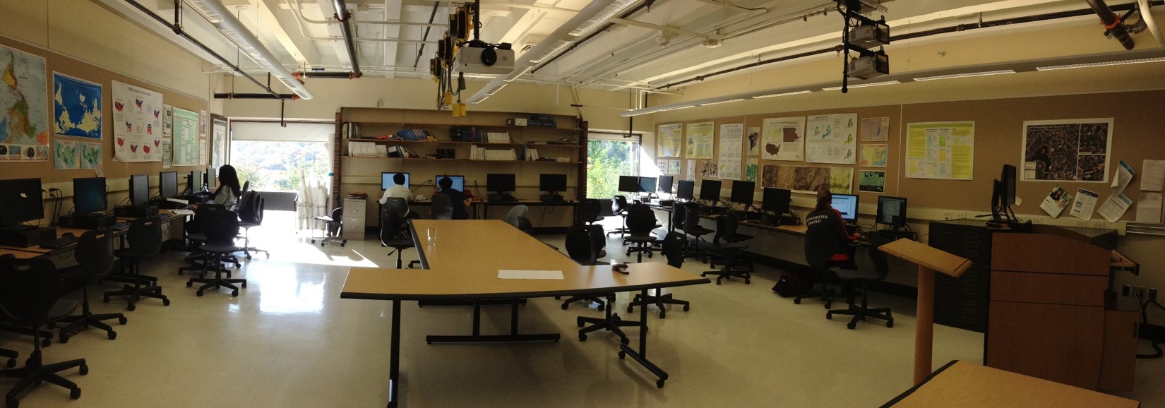
The week closed with a [not-at-all] lazy Friday afternoon open lab in which multiple groups clicked away at their work on the computers (see image). This was followed by another successful pickup ultimate Frisbee game full of competitive spirits resulting in serious bruising. Smith Provost, and ultimate aficionado, Katherine Rowe joined us on the sidelines. She wowed the group with her extensive knowledge of ultimate strategy, while her family joined the game and wowed us with their skill set.
