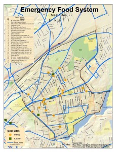
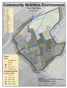
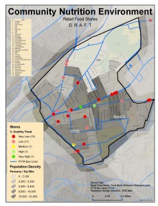
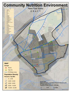
The Food Bank of Western Massachusetts sought mapping and analysis support from the Spatial Analysis Lab during the summer of 2010. The project is currently on hold, but you can view some of the initial map products below. Sarah Motti ’10 provided assistance on the project during her summer employment in the SAL.
In many ways, this project was very typical of GIS community service. A public agency collected and compiled tremendous amounts of data within their service area(s). However, many public agencies and volunteer organizations such as the Food Bank of Western Massachusetts do not have the time or expertise to analyze their data spatially.
What made this project somewhat unique was the amount and quality of locally collected data. Many datasets such as, “pounds of food distributed per county”, and “number of emergency food programs”, came directly from the Food Bank. Other datasets such as, “healthy food”, and “food costs” were obtained from local surveys conducted by Food Bank staff. Combining these locally provided or gathered data with “off the shelf” data from the US Census (e.g. poverty status, age, etc.) create meaningful visualizations that illuminate areas/issues in need of attention.
The other unique feature of this venture was the Food Bank (initially) wanted just digital map products (e.g. no printed maps). In the end, this digital only mindset changed, but it was nonetheless a bit refreshing. On the other hand, retooling digital cartography products to print products is very time consuming!
Sample Page for Maps and Files


