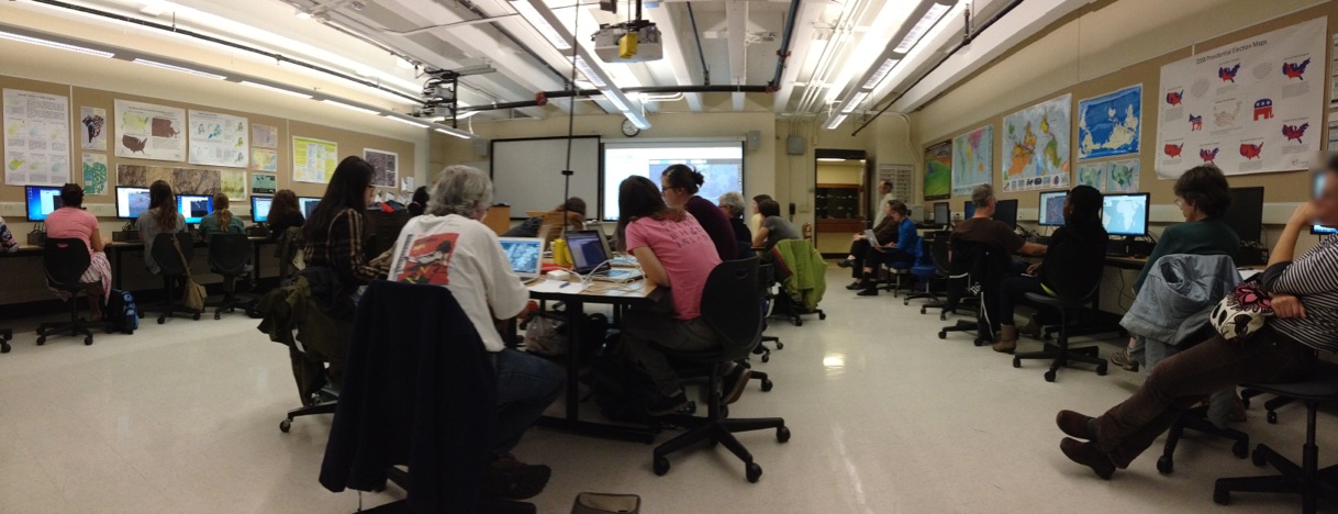
On Wednesday night the Spatial Analysis Lab hosted workshop instructor Teresa Clary to lead an 90 minute session on Ebola First Responder Mapping with OpenStreetMap. The workshop was heavily attended, pushing the SAL and its computer capacity to the limits.
The Humanitarian OpenStreetMap Team has developed a project called MapGive, which encourages volunteers to help populate maps in parts of the world where mapping resources are limited. They contributed significantly to relief efforts in Haiti following the 2010 earthquake by mapping the island’s infrastructure through GPS surveying on foot and computer based mapping using aerial photography. The same type of project is underway now in response to the recent Ebola outbreak in West Africa – although this time it’s completely computer-based.
Volunteers are using aerial imagery of the area to identify features like roads and paths to remote villages, bridges and river crossings, schools that are being used as temporary health clinics, and even open fields for helicopter landings. Groups like Doctors Without Borders and the American Red Cross rely on this crowd-sourced cartography to navigate an area where previously the only available maps were comprised of blurry aerial images.
Teresa led a group of 38 students, faculty, staff, and community members in Wednesday night’s workshop to begin to map features in the captial city of Monrovia, Liberia. The OpenStreetMap editing program provides basic cartographic tools that allow users to draw shapes to represent areas as buildings and lines to represent roads and paths. The majority of the workshop attendees were inexperienced in GIS mapping, yet all were able to draw features on the map and contribute to the relief effort.
Although the GIS concepts of the project are fairly straightforward, the task proved quite challenging, facing quandaries like – am I looking at a rooftop or a dirt lot? And does this path look wide enough to be considered a road?
The aerial imagery available for many parts of the region does not compare with the crystal clear Google Earth images of the States that we may be familiar with. Google Earth imagery in the US provides an almost disturbing amount of detail where you can spot people sunbathing next to their pool and identify lawn decorations in Street View.
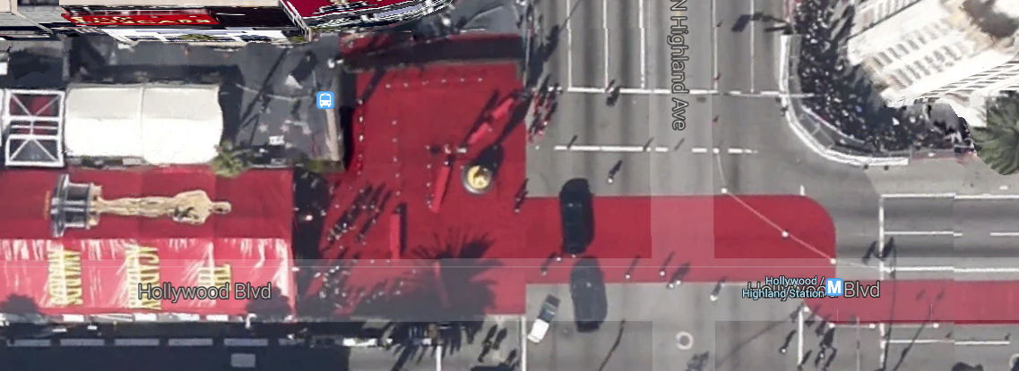
Hollywood boulevard captured during The Academy Awards
OpenStreetMap in Liberia on the other hand provides much less detail in images that can be blurry and dark, making it difficult to decern features to map.

The village of Mankore in rural Sierra Leone
The success of Wednesday night’s workshop has encouraged the Spatial Analysis Lab to consider hosting a mapping party to open the lab up for students to continue to work on this project collectively. Although the program is web-based and can be accessed anywhere, it can be nice to gather to work towards a common cause. Details on this coming soon.
If you missed the workshop and are interested in participating in the mapping project: visit the OpenStreetMap page, create an account, and start contributing. If you are interested in continuing these mapping efforts on Smith campus feel free to contact Victoria Beckley (vbeckley@smith.edu) for help organizing. And if you are interested in crisis mapping workshops like the one hosted by the SAL contact Teresa Clary (tclary@maphome.com) for more information.