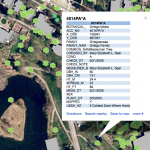
 The Spatial Analysis Lab is working with the Smith College Botanic Garden to develop an open and robust data model based on the fine work by the Alliance for Public Gardens GIS (APGG). This effort began as a tiny seed almost 10 years ago, but languished without light and nourishment. Now, conditions seem ripe to truly grow the project into a model that does the Smith Community proud. See who is involved and follow our efforts by viewing the Gardens working page. More to follow soon.